Select the print to see it larger
Map prints / Counties / County 034
Kajiado
County relief
From the Ngong Hills and the Nguruman Escarpment down to Lake Magadi and across to Amboseli.
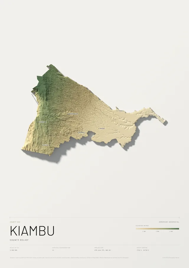
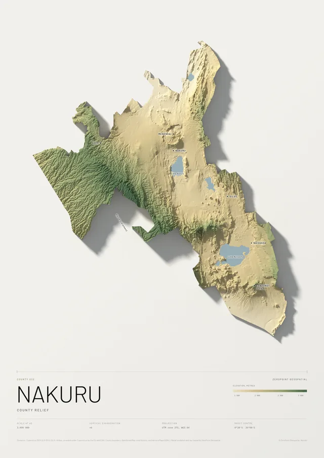
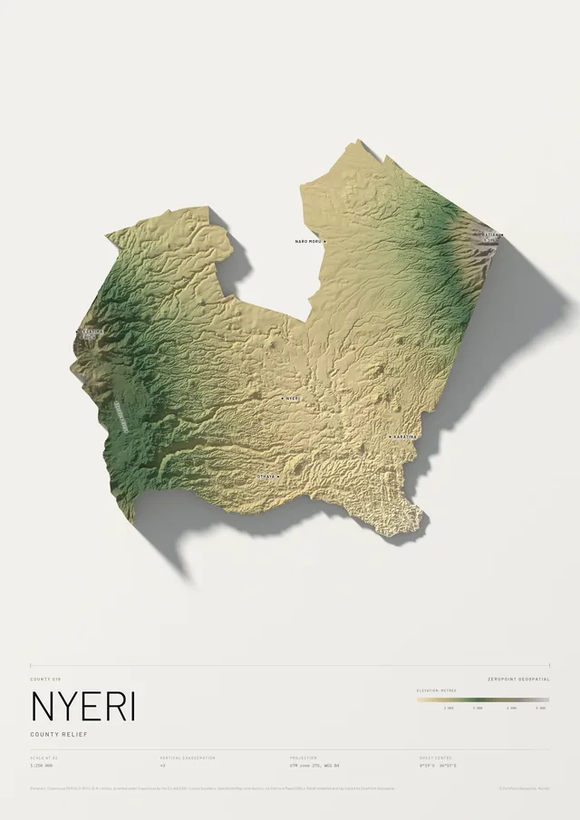
The county is cut to its boundary and modelled like the national relief plate, with its own colour range so the shape of the land shows. It carries the county’s official number, 034. Any of the 47 counties can be made the same way.
KSh 9,000 – 15,500Depending on size and framing. We confirm the exact figure before you pay.
Free delivery and installation in Nairobi for framed prints. Delivery across Kenya on request.
- Scale
- 1:750 000 at A2, 1:375 000 at A0
- Data
- Copernicus DEM (DLR / Airbus, EU and ESA)
- Vertical exaggeration
- ×8
- Boundary
- OpenStreetMap contributors, via Overture Maps (ODbL); indicative only
- Projection
- UTM zone 37S, WGS 84
- Paper
- Matte or satin, your choice
More prints