Landowners
Know exactly what you own.
Boundary verification, beacon checks, parcel maps and land-buying due diligence before money changes hands.
 ZeroPoint Geospatial
Precision data. Smarter decisions.

Land surveying and GIS / Nairobi, Kenya
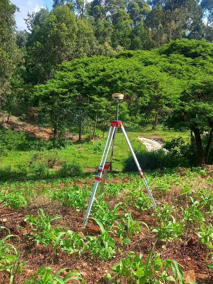
Land surveying, boundary confirmation, topographic surveys, construction setting-out, GPS and RTK mapping, and GIS deliverables. Field to finish, across Kenya.
01Services
Surveying and geospatial services for landowners, developers, contractors and planners.
Beacon identification, parcel boundary confirmation and coordinate-based documentation.
Turnaround2 to 4 days
Get a quoteContours, spot heights, site features and terrain data for design work.
Turnaround3 to 5 days
Get a quoteSetting-out, grid control and level transfer for construction teams.
Turnaround1 to 3 days
Get a quoteFast coordinate capture and high-accuracy location data.
TurnaroundSame day to 1 day
Get a quoteDigital mapping, GIS layers and spatial analysis.
Turnaround3 to 7 days
Get a quotePDF maps, CAD drawings and GIS-ready files.
Turnaround2 to 5 days
Get a quote02Who we work with
Survey work is not one-size-fits-all. Each client needs a different level of precision, format, speed and decision support.
Landowners
Boundary verification, beacon checks, parcel maps and land-buying due diligence before money changes hands.
Developers
Topographic surveys, site constraints, access checks, coordinate control and planning-ready terrain data.
Contractors
Setting-out, level transfer, grid control, as-built checks and repeatable construction reference points.
Architects and planners
CAD-ready survey drawings, contour maps, GIS layers and site information prepared for design workflows.
County and public teams
Land-use mapping, asset inventories, spatial analysis, remote sensing support and GIS-ready datasets.
Banks and lenders
Boundary and beacon verification, title-support surveys and valuation-ready reports for secured lending.
03Survey packs
Clear packages make it easier to scope, quote, deliver and hand over professional geospatial work.
Land confidence
For land buying, subdivision checks, disputes and ownership confidence.
Design ready
For architects, engineers, developers and planners starting design work.
Build control
For contractors who need repeatable, verified site control.
Spatial intelligence
For organisations that need reusable map data, analysis and reporting.
04Process
Send the location, land size, service type and timelines.
Field work planned around access and accuracy needs.
Measurements checked and prepared into deliverables.
PDF maps, CAD files, reports or GIS layers.
05Survey QA
Professional geospatial work is not just a drawing. It is a chain of measurements, checks, coordinate decisions and deliverable records.
06Map prints
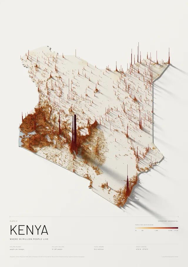
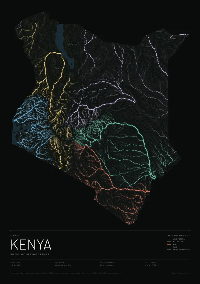
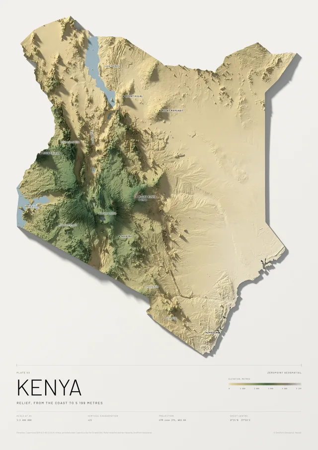
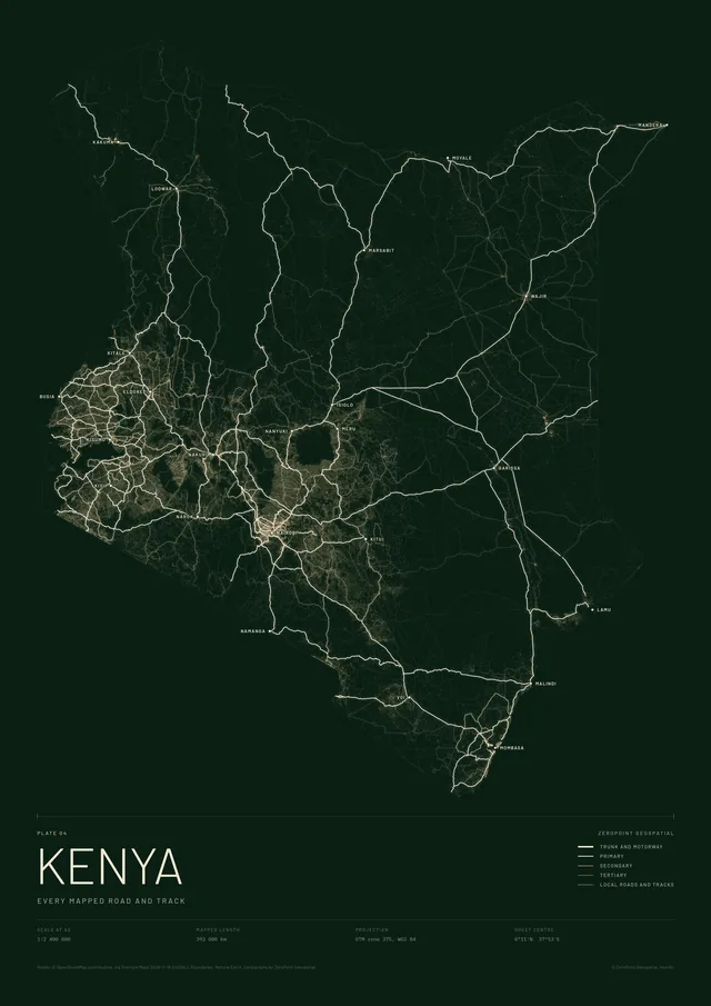
The same data handling we bring to survey work, turned into prints: every river traced from the terrain, every mapped road, 55 million people as a landscape of columns.
07About
Founded by trained geospatial engineers, ZeroPoint Geospatial delivers accurate, decision-ready spatial data.
We combine academic training with hands-on field experience. Land in Kenya is valuable, and we map it right, one survey at a time.
We are three engineers who believe the most important data in the world is spatial data. The ZeroPoint team
Equipment and software
High-precision GNSS and RTK receivers, total stations, QGIS, ArcGIS, AutoCAD.
3
Geospatial engineers
Founded in 2026
Project details are structured from the first message, so pricing, access and timelines are clear.
Control points, coordinate systems and field notes stay tied to the final deliverable.
PDF, CAD, GIS layers and reports are packaged for owners, consultants and contractors.
Survey files, contact details and project notes are treated as sensitive client information.
08Field notes
Practical guides on land verification, coordinate systems, RTK and GNSS, remote sensing and GIS in Kenya.
Buying land without proper boundary verification can lead to disputes, construction delays, and expensive legal complications.
African cities are growing faster than any region on earth. By 2050, over 1.3 billion people will live in urban areas across the continent — many in cities that did...
The question comes up on almost every project brief: Can you just use a drone for this?
Here is a situation that happens more often than it should:
09FAQ
Share the project location, land size, service type, urgency, and any existing plans or coordinates.
PDF maps, CAD drawings, coordinate tables, survey reports, GIS layers or topographic data.
Yes. We can discuss survey work across Kenya depending on project scope and timelines.
Pricing depends on land size, terrain and the deliverable you need. We send a clear quote within two hours on business days.
Request a boundary verification survey. We locate the beacons and provide a signed report confirming how the parcel aligns.
10Contact
Send your project details and our team will respond within two hours on business days.