Source
Open, citable data
Copernicus elevation models at 30 and 90 metres, OpenStreetMap roads and boundaries, Kontur population, CHIRPS rainfall and Hansen tree cover. The source and licence are printed on each atlas, landform and county plate.
 ZeroPoint Geospatial
Precision data. Smarter decisions.
Map prints / 18 prints
Prints made by geospatial engineers from real data: rivers traced from the terrain, relief ray-traced like a physical model, 55 million people as a landscape of columns. Framed and ready to hang.
01The collection
The Kenya atlas plates share one scale and projection, so they hang as a set. County plates and city prints are made to order for any county or town. Prices are for A2 to A0 and depend on size and framing.
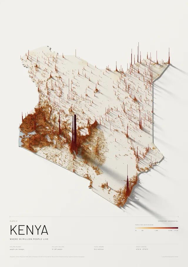
Where 55 million people live
KSh 9,000 – 15,500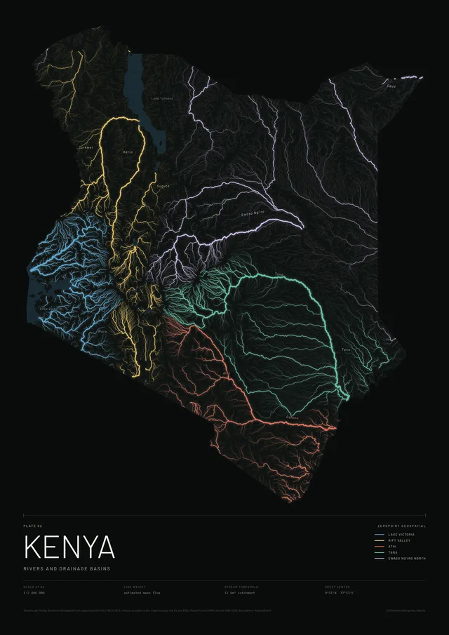
Rivers and drainage basins
KSh 9,000 – 15,500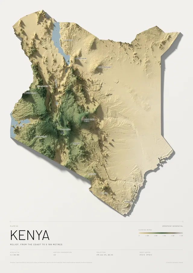
Relief, from the coast to 5 199 metres
KSh 9,000 – 15,500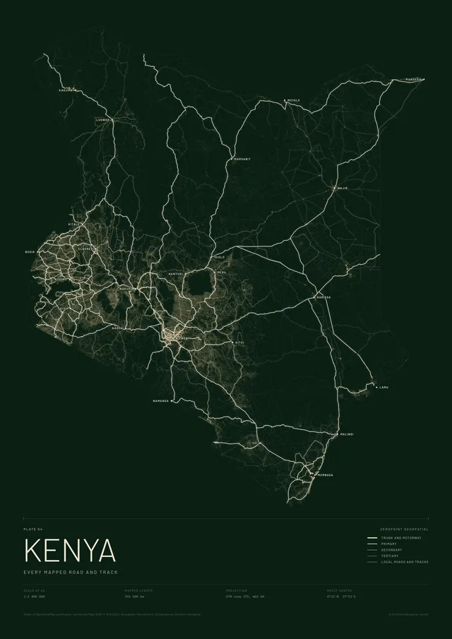
Every mapped road and track
KSh 9,000 – 15,500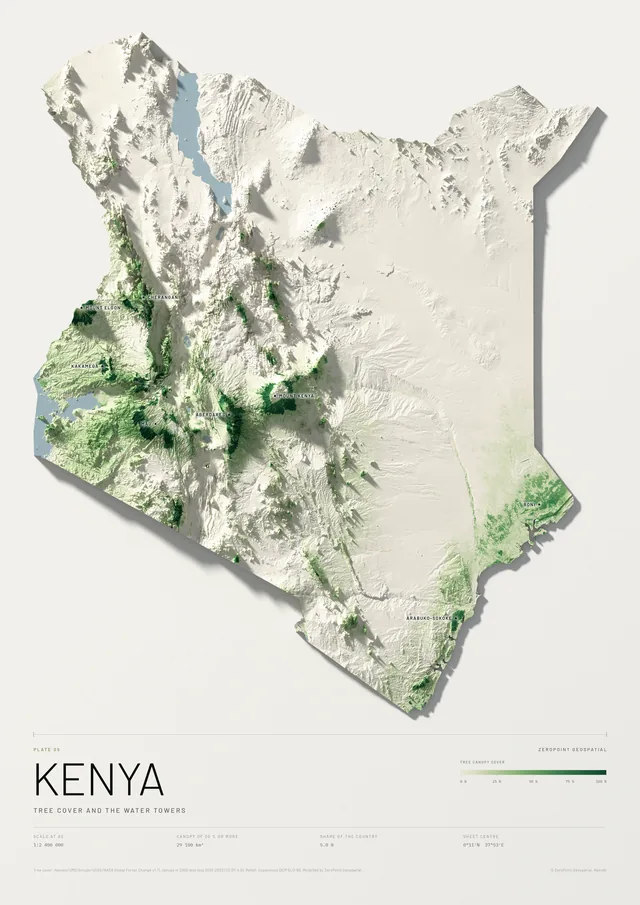
Tree cover and the water towers
KSh 9,000 – 15,500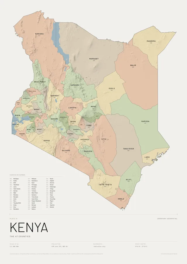
The 47 counties
KSh 9,000 – 15,500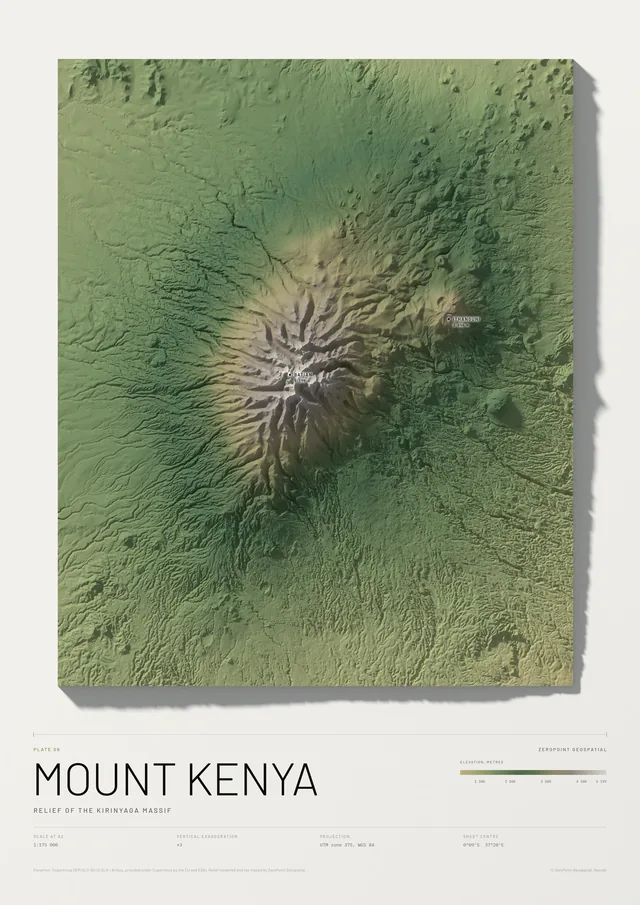
Relief of the Kirinyaga massif
KSh 9,000 – 15,500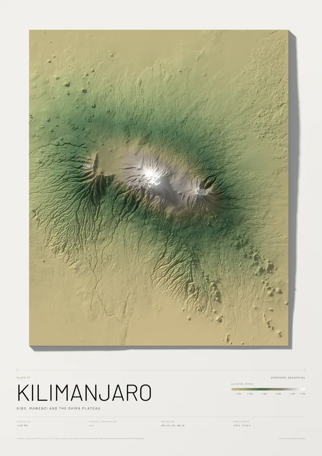
Kibo, Mawenzi and the Shira plateau
KSh 9,000 – 15,500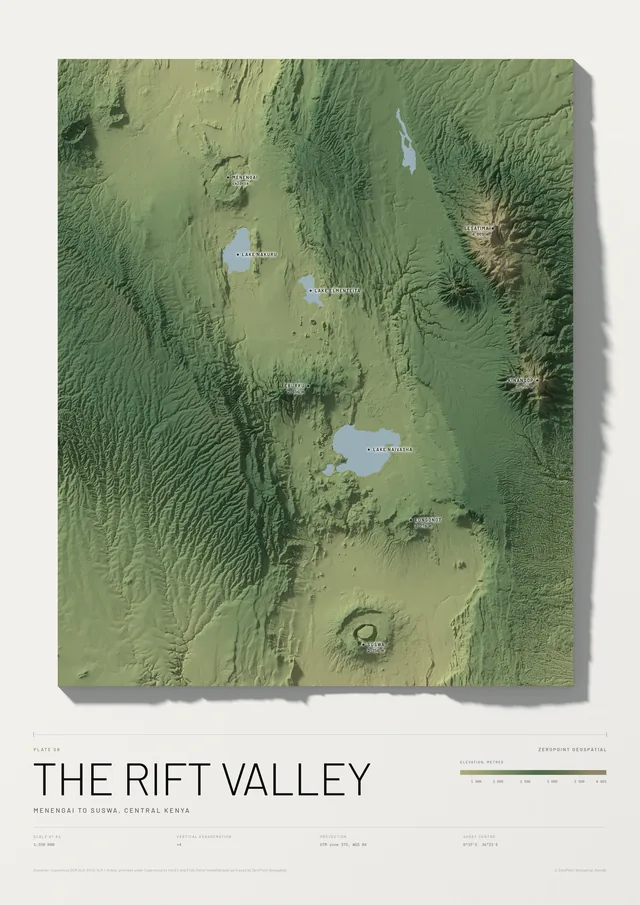
Menengai to Suswa, central Kenya
KSh 9,000 – 15,500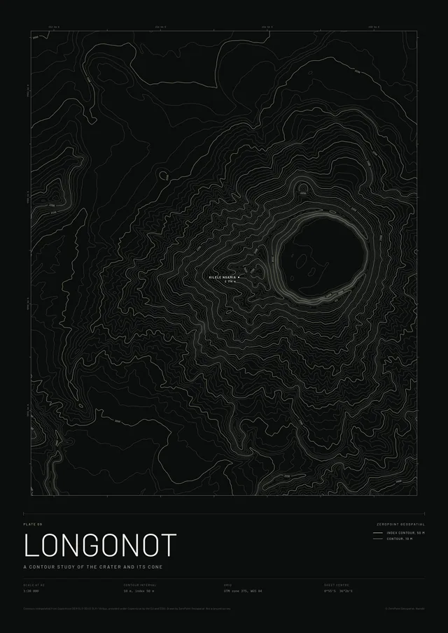
A contour study of the crater and its cone
KSh 9,000 – 15,500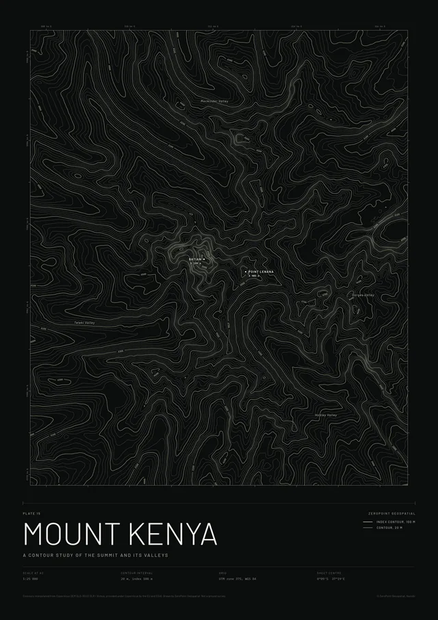
A contour study of the summit and its valleys
KSh 9,000 – 15,500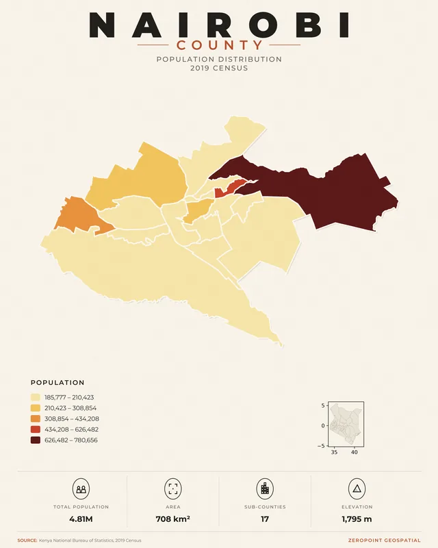
Population by sub-county, 2019 census
KSh 9,000 – 15,500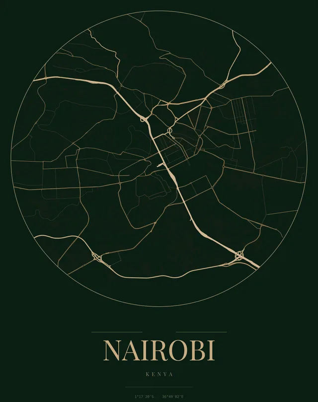
The city's roads in gold
KSh 9,000 – 15,500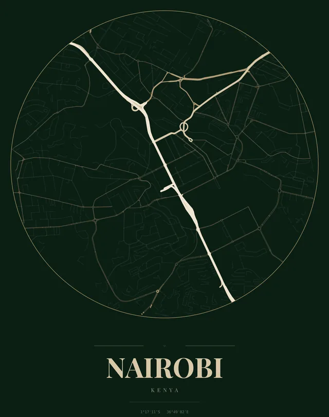
City centre, in gold
KSh 9,000 – 15,500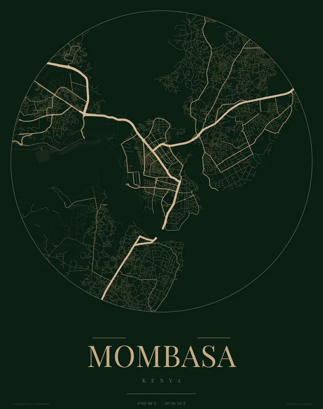
The city's roads in gold
KSh 9,000 – 15,500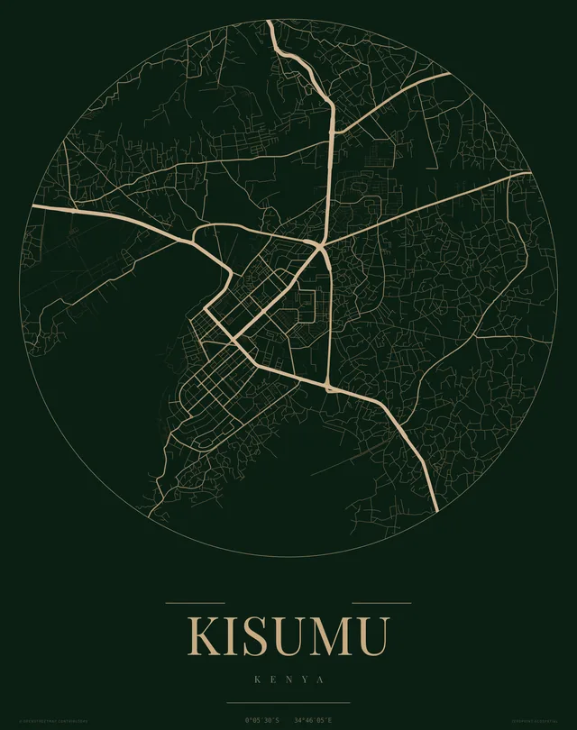
The city's roads in gold
KSh 9,000 – 15,500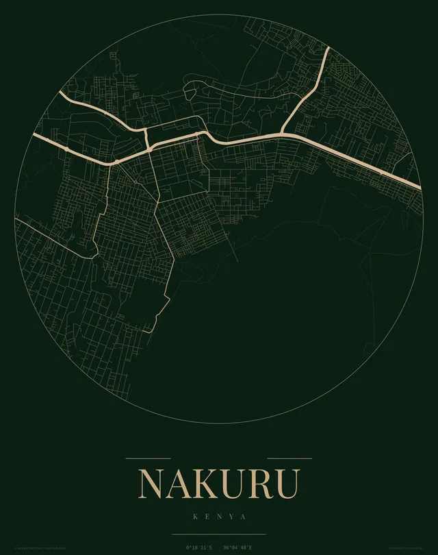
The city's roads in gold
KSh 9,000 – 15,500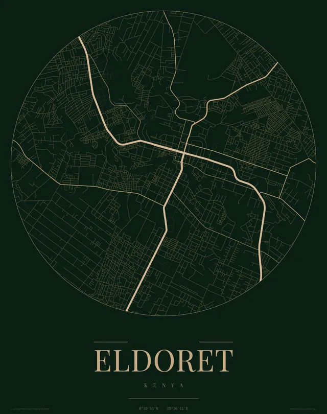
The city's roads in gold
KSh 9,000 – 15,50002How they are made
Each plate starts as data and goes through the same handling as our survey work: a stated source, a stated projection and a method we can explain.
Source
Copernicus elevation models at 30 and 90 metres, OpenStreetMap roads and boundaries, Kontur population, CHIRPS rainfall and Hansen tree cover. The source and licence are printed on each atlas, landform and county plate.
Processing
The river network is computed from the terrain rather than downloaded, and each river is weighted by the flow that thirty years of rainfall would give it. Relief and population are built as 3D models and ray-traced so shadows fall the way they would on a physical model.
Sheet
Country plates are drawn in UTM zone 37S at 1:2 400 000 on A2, which is 1:1 200 000 on A0. Each sheet carries its scale, centre coordinates and plate number.
03Ordering
Pick a plate, a size from A2 to A0 and a frame finish.
Send your selection on WhatsApp or by email. We confirm the price and the production timeline.
Most prints are ready within 24 hours of confirmation. Framed prints are delivered and installed free within Nairobi.
Most prints are ready within 24 hours. Orders confirmed after 12 noon EAT are processed the next business day.
Delivery and installation are free within Nairobi for framed prints from the collection.
We deliver outside Nairobi on request. Ask for a delivery quote with your order.
Damaged or defective prints are replaced or refunded. We stand behind every frame and print we deliver.
Custom work
Any of the 47 counties can be made as a relief plate and any town as a city print, to the same design as the ones in the collection. We can also turn a survey deliverable, a GIS output or a site plan into a framed wall print. Send us the area, the size and the frame finish and we will prepare a quote.