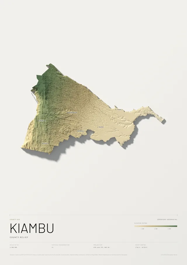
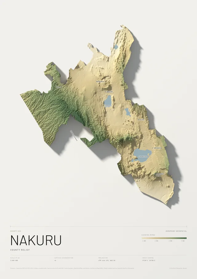
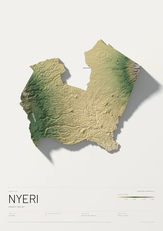
Select the print to see it larger
Map prints / Counties / County 044
Migori
County relief
Migori County, number 044, modelled from 30 metre elevation data and cut to its boundary. The land rises from about 1 130 metres to about 1 880 metres, across about 89 by 82 km. It borders Narok, Homa Bay and Kisii counties and Tanzania, and reaches Lake Victoria.
The picture shows the plate as we draw it before naming places. When you order, we add the towns, peaks, rivers and lakes, and anything else you ask for, such as your home town or your farm, and send you the full sheet to approve before it is printed.
Made to order, proof first. We draw your plate, send you a proof within three working days and allow two rounds of changes. Nothing is printed until you approve it. Payment is due once you approve the proof, by M-Pesa or card.
Free delivery and installation in Nairobi for framed prints. Delivery across Kenya on request.
- Scale
- 1:300 000 at A2, 1:150 000 at A0
- Elevation
- about 1 130 m to about 1 880 m
- Area
- about 3 100 km² within the boundary drawn
- Neighbours
- Narok, Homa Bay, Kisii, Tanzania
- Vertical exaggeration
- ×8
- Data
- Copernicus DEM GLO-30 (DLR / Airbus, EU and ESA); boundary © OpenStreetMap contributors, via Overture Maps (ODbL), indicative only
- Projection
- UTM zone 37S, WGS 84
- Paper
- Matte or satin, your choice
Request a proof
Migori County, made for you
Tell us the size, frame and paper, and anything you would like named on the map: your town, your farm, a school, a river. We reply with a proof within three working days.
- 01
Request. Size, frame, paper and what you want named.
- 02
Proof. A full sheet on WhatsApp or email, within three working days.
- 03
Changes. Up to two rounds of changes, then you approve.
- 04
Print and deliver. Payment is due once you approve the proof, by M-Pesa or card.
More prints