Your own data
A survey plan or GIS output as a wall print
Send us a deed plan, a topographic survey or a set of GIS layers and we redraw it as a framed print for an office, a reception or a gift.
 ZeroPoint Geospatial
Precision data. Smarter decisions.
Map prints / Made to order
Any county, town, mountain or piece of land, drawn in the style of the collection from the same data and the same pipeline. You see a proof before anything is printed.
01What we can make
Each style below exists in the collection, so you can see exactly what you are ordering. Click through to look at one full size.
Relief
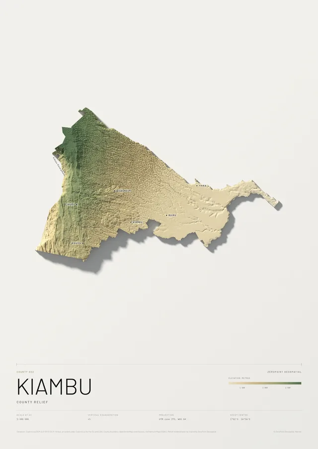
A ray-traced model of the terrain, cut to the boundary of a county or drawn as a block for a mountain or region.
See Kiambu County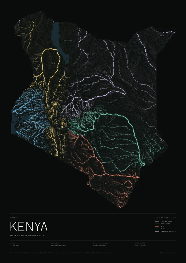
Rivers and drainage
Every stream traced from the terrain and weighted by flow, coloured by the basin it drains to.
See Rivers of Kenya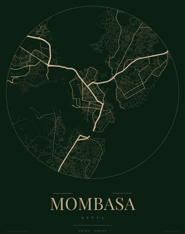
Roads in gold
The road network of a town or estate inside a circle, gold on deep green, with its coordinates.
See Mombasa in gold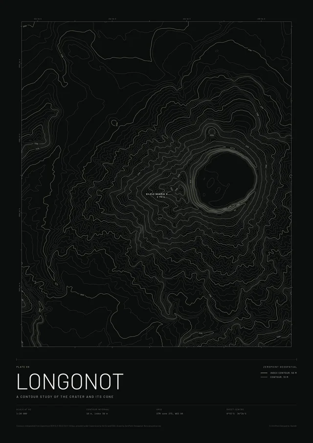
Contours
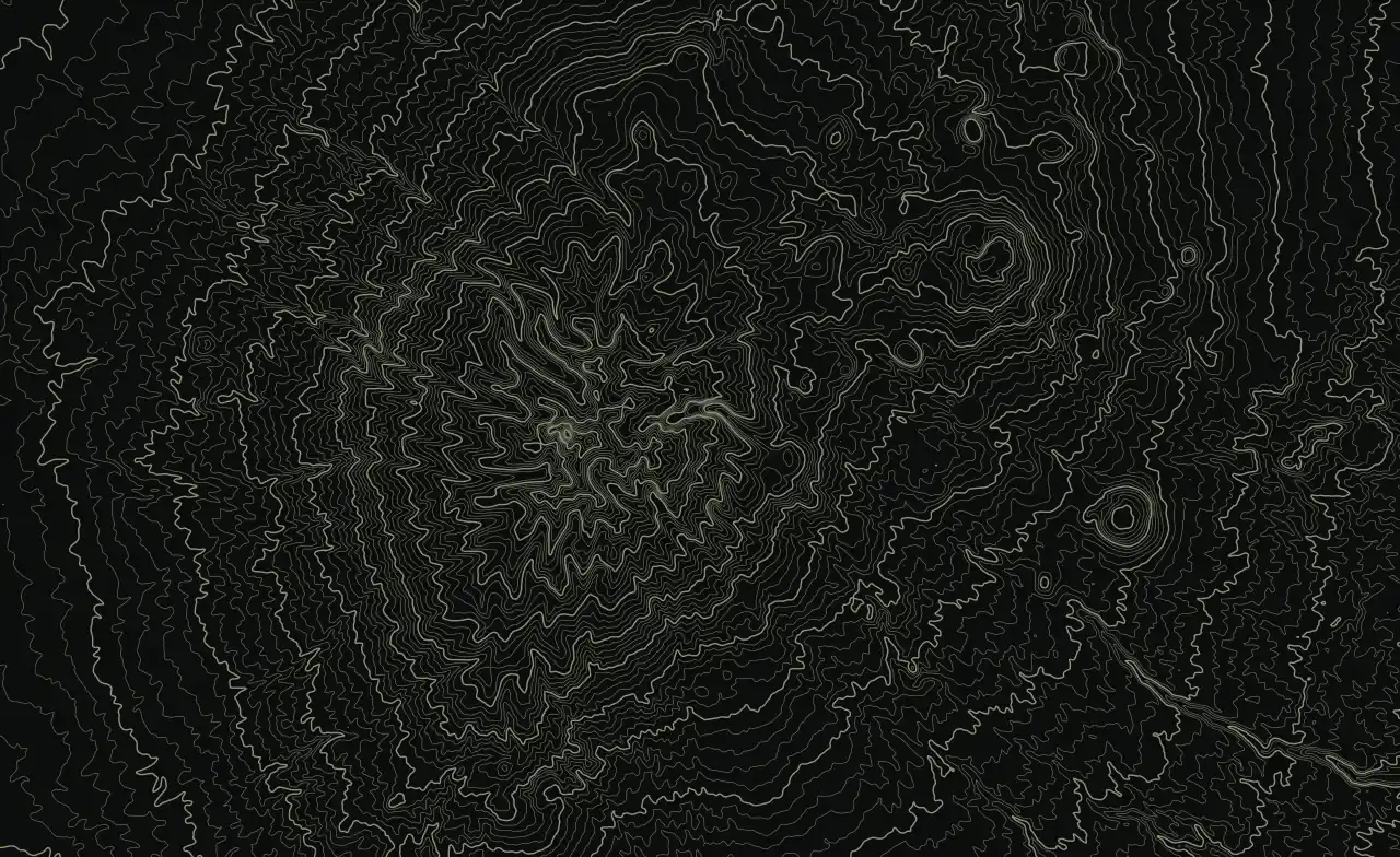
A contour study of a crater, a hill or a farm, framed like a topographic sheet.
See Longonot contours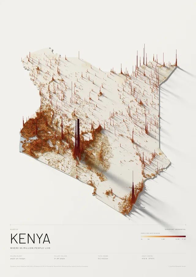
Population
Where people live, as columns rising from the land, ray-traced like a physical model.
See Population of Kenya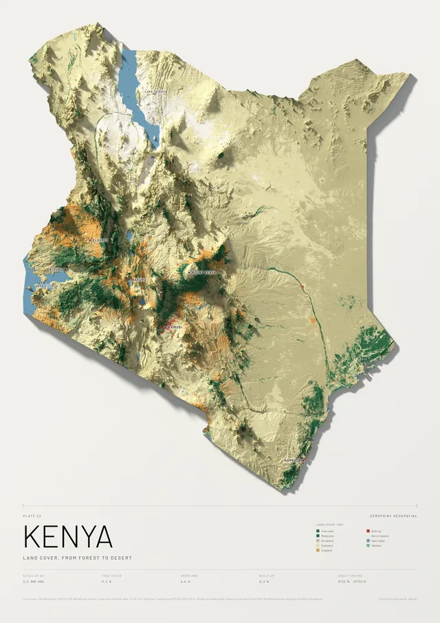
Land cover
Forest, farmland, towns and dryland from 10 metre satellite mapping, painted on the relief.
See Land cover of Kenya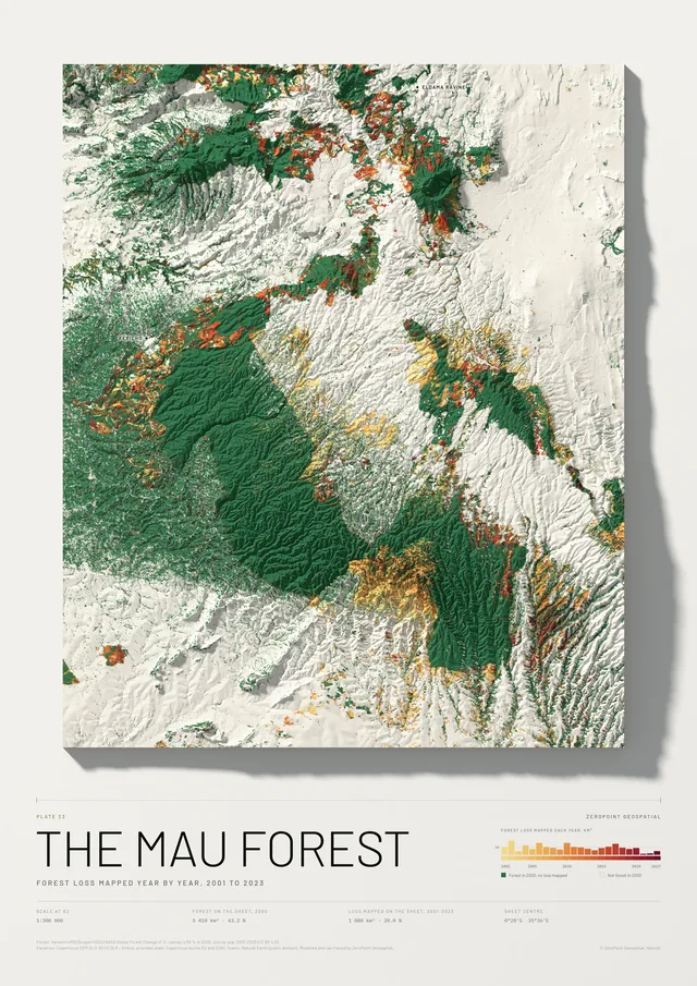
Forest and forest loss
The forest of 2000 in green, and every patch mapped as lost from 2001 to 2023 in the colour of its year.
See The Mau Forest, forest loss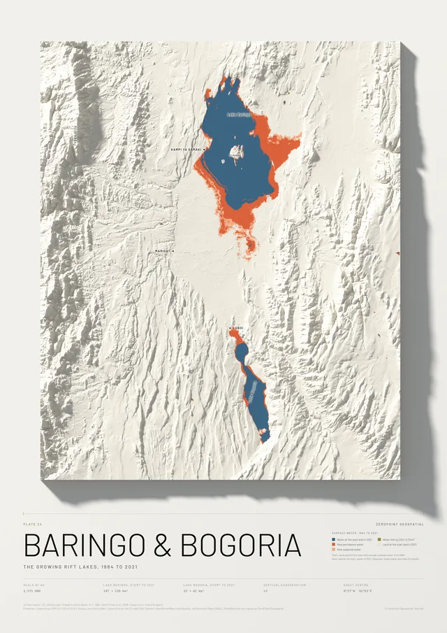
Lakes and water
Where water stood when the satellite record began, from 1984, and where it stood in 2021, the latest year of the record.
See Lakes Baringo and Bogoria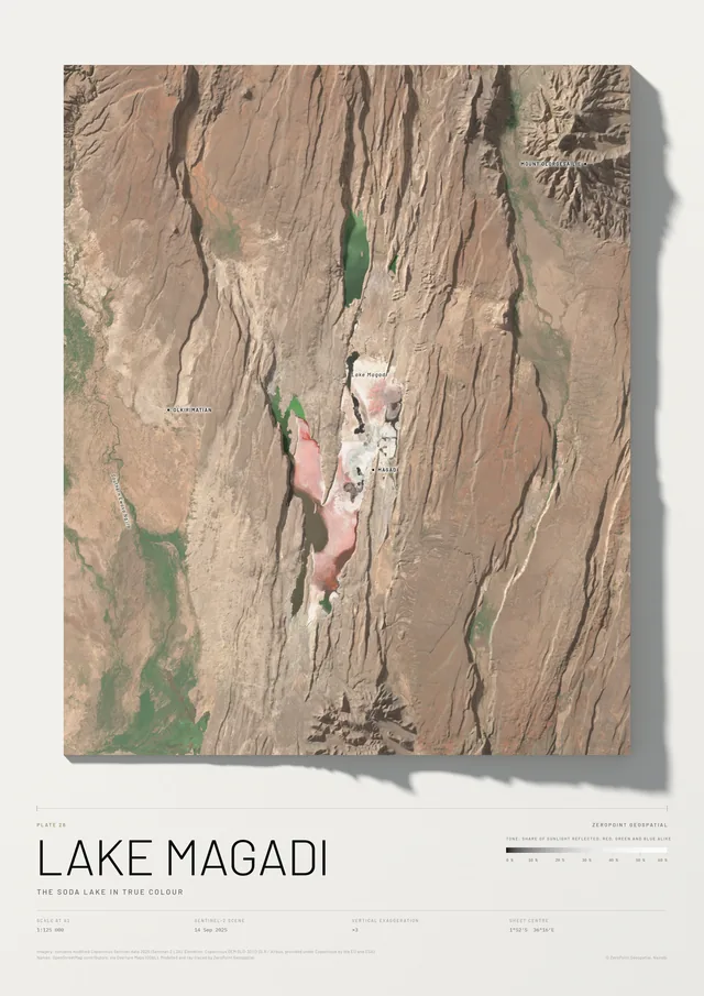
True colour
The ground as the Sentinel-2 satellite sees it, at 10 metres, over the terrain model. For areas up to about 300 km across: a mountain, a lake, a farm or any county but the four largest.
See Lake Magadi in true colourYour own data
Send us a deed plan, a topographic survey or a set of GIS layers and we redraw it as a framed print for an office, a reception or a gift.
02How it works
Tell us the area, the style and the size. We draw it and send you a proof within three working days. Nothing is printed until you approve it.
Request. Size, frame, paper and what you want named.
Proof. A full sheet on WhatsApp or email, within three working days.
Changes. Up to two rounds of changes, then you approve.
Print and deliver. Payment is due once you approve the proof, by M-Pesa or card.
Prefer to talk it through? WhatsApp us or email zeropointgeospatial@gmail.com.