
Map prints / Counties
All 47 counties,
made to order
Every county of Kenya as a relief model, cut to its boundary and lit like a physical object. We name the towns, rivers and peaks you care about, send you a proof within three working days, and print only once you approve.
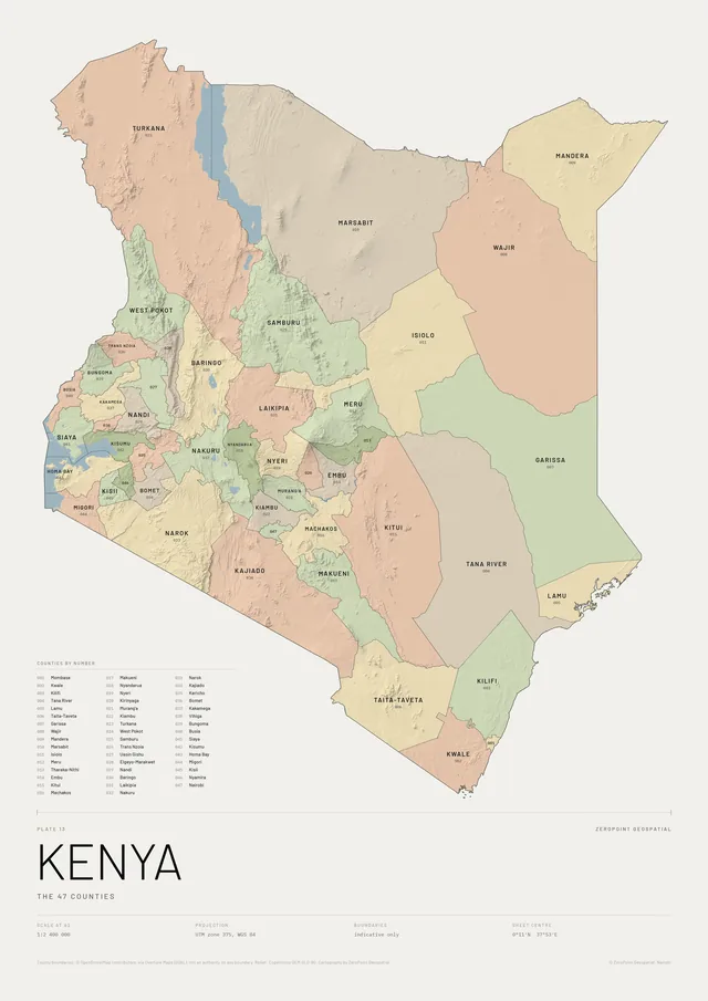
01By county number
Find your county
Numbered by the official county codes, from Mombasa (001) to Nairobi (047). The pictures show each plate before places are named; yours is labelled to order.
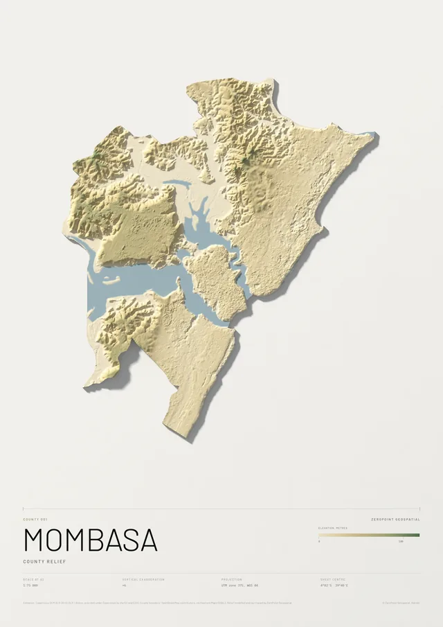
Mombasa County
County relief
From KSh 9,000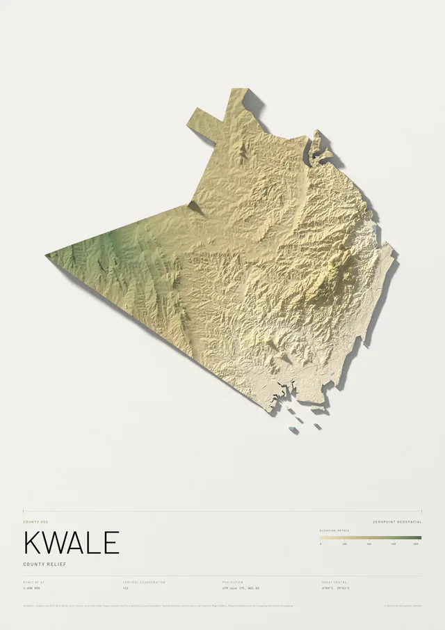
Kwale County
County relief
From KSh 9,000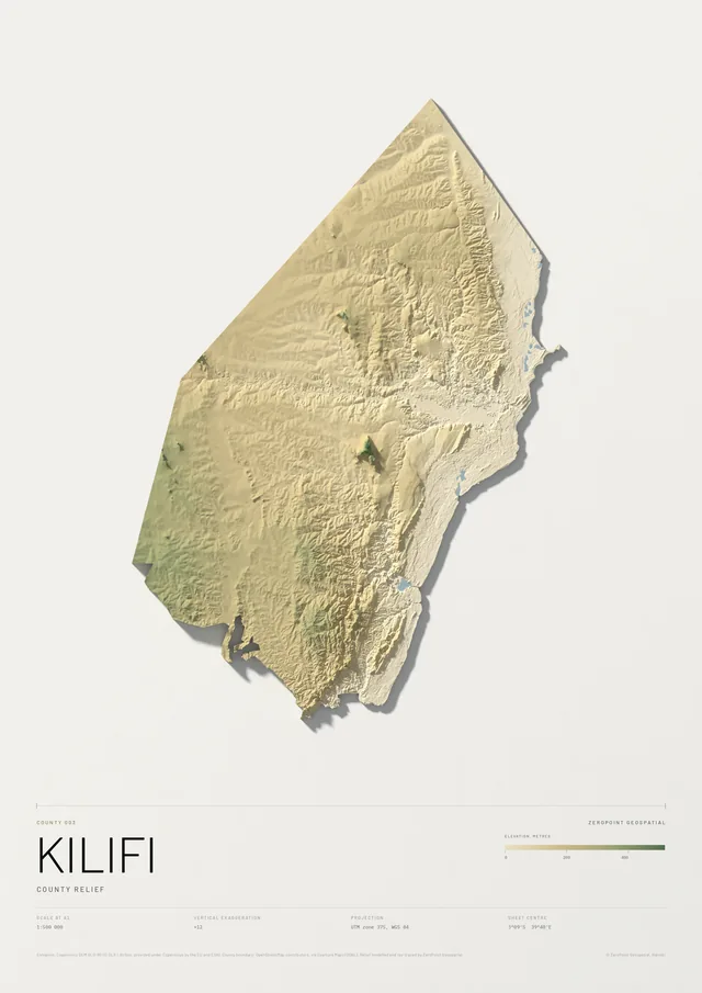
Kilifi County
County relief
From KSh 9,000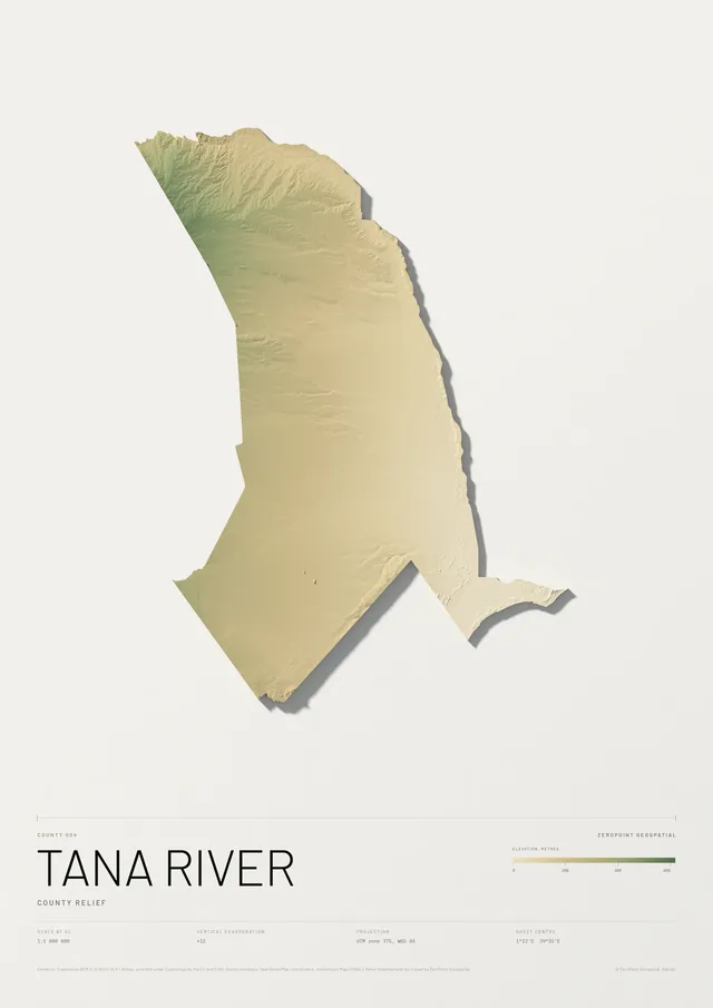
Tana River County
County relief
From KSh 9,000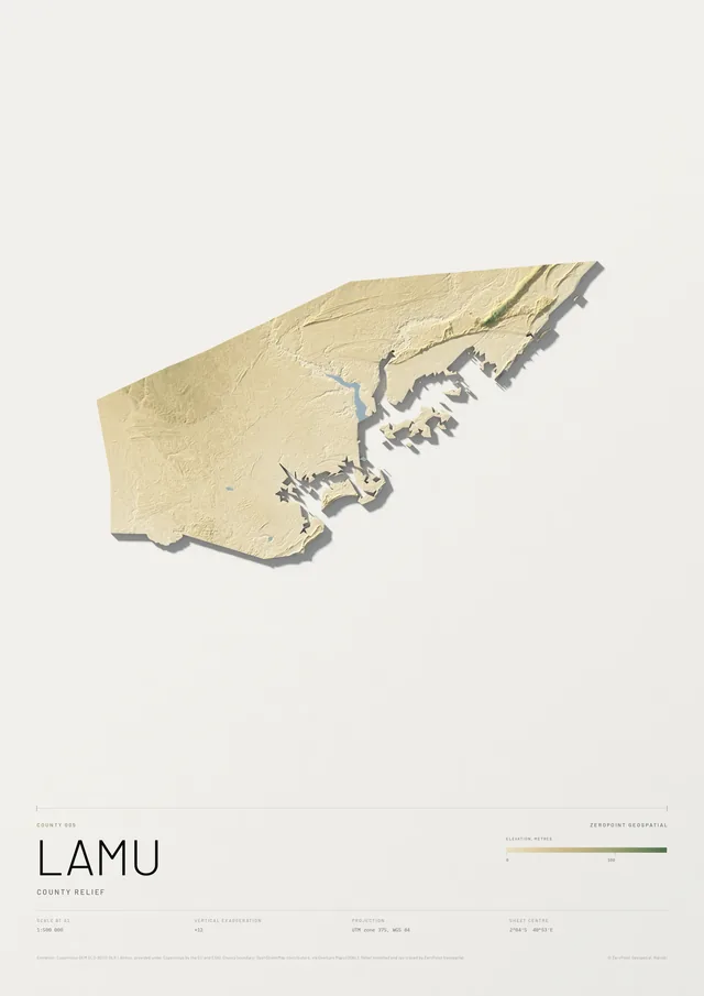
Lamu County
County relief
From KSh 9,000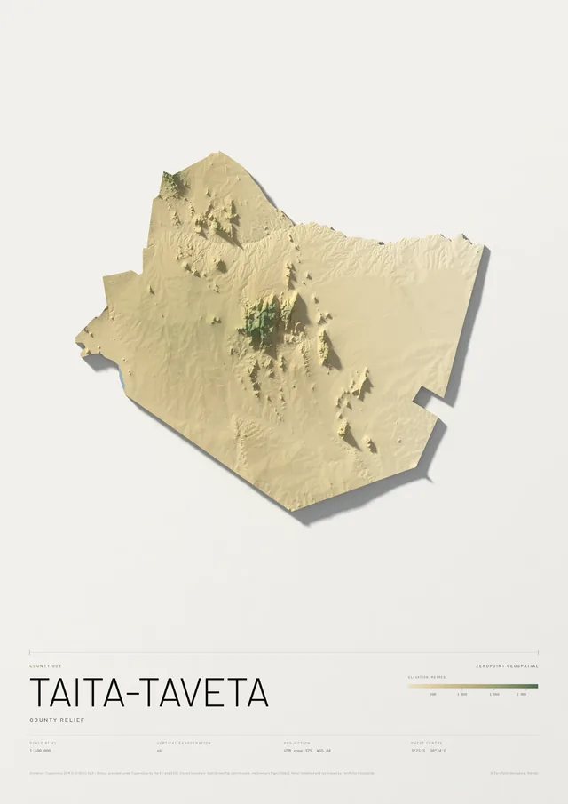
Taita-Taveta County
County relief
From KSh 9,000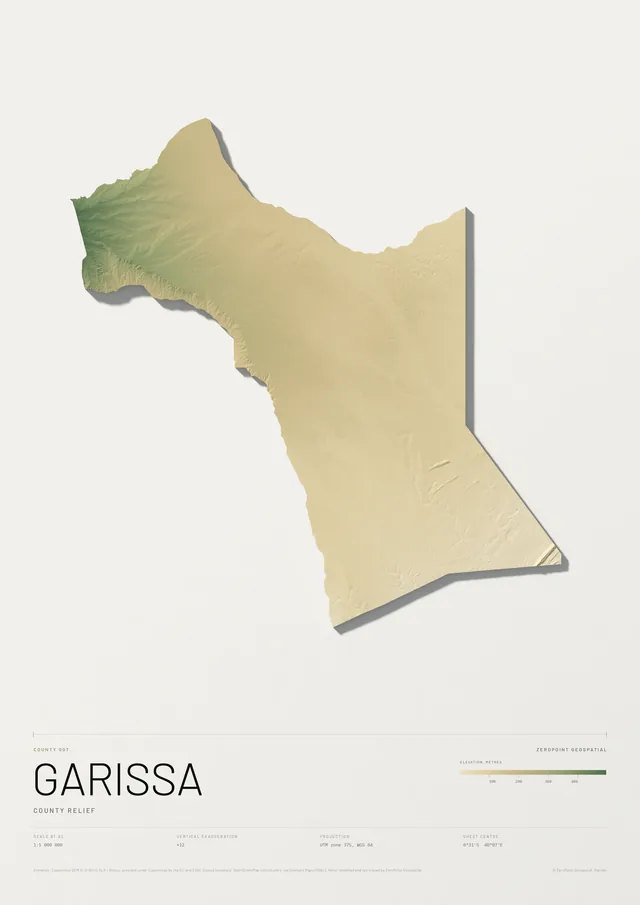
Garissa County
County relief
From KSh 9,000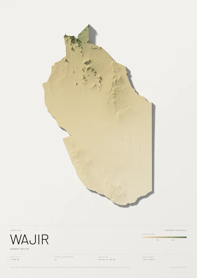
Wajir County
County relief
From KSh 9,000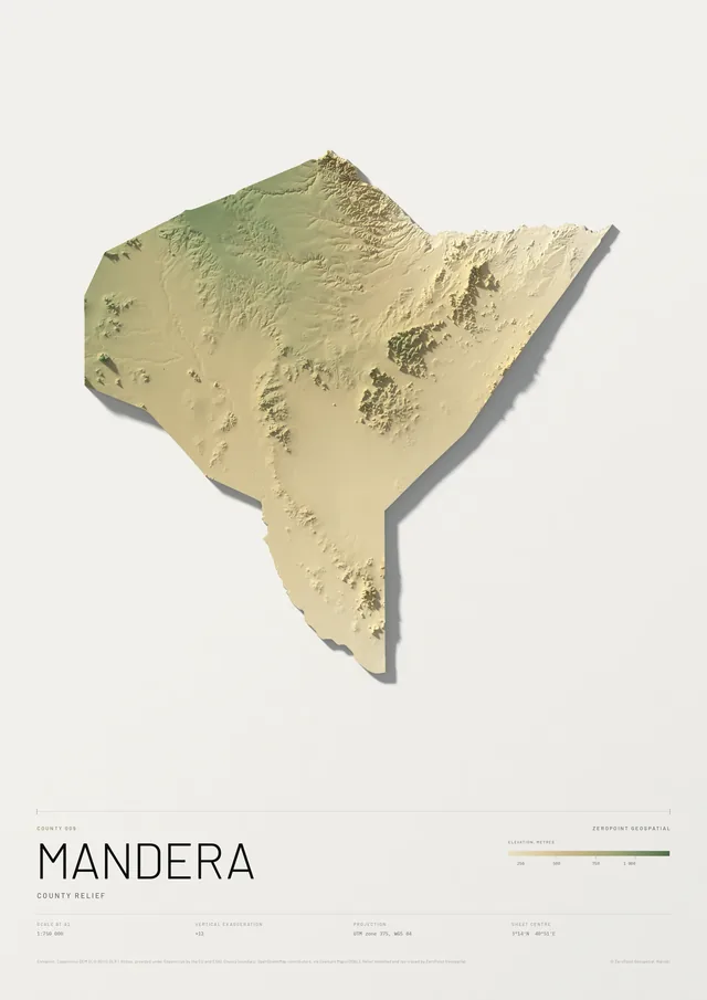
Mandera County
County relief
From KSh 9,000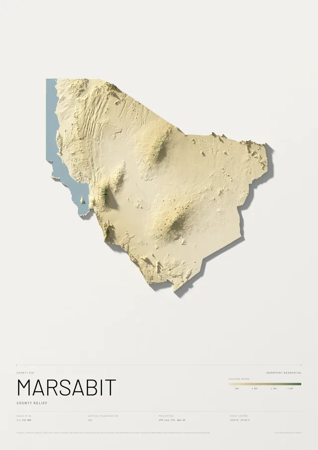
Marsabit County
County relief
From KSh 9,000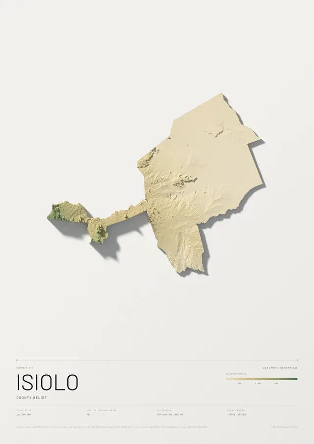
Isiolo County
County relief
From KSh 9,000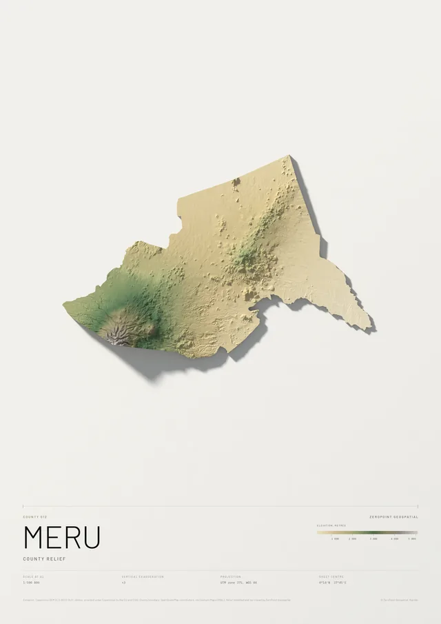
Meru County
County relief
From KSh 9,000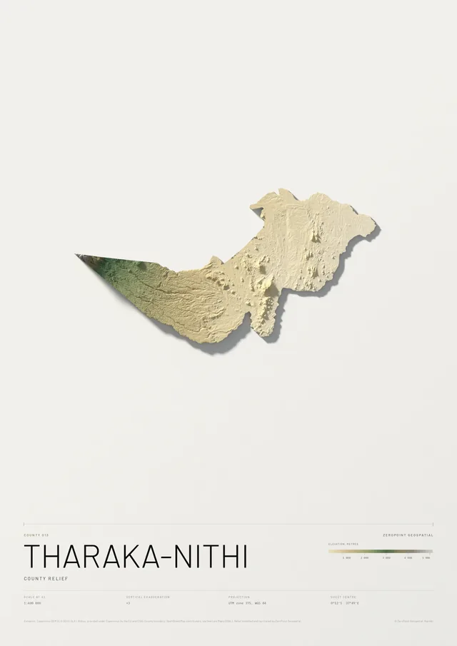
Tharaka-Nithi County
County relief
From KSh 9,000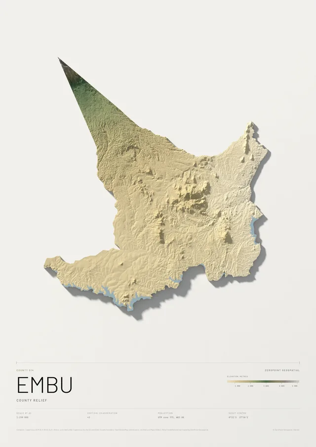
Embu County
County relief
From KSh 9,000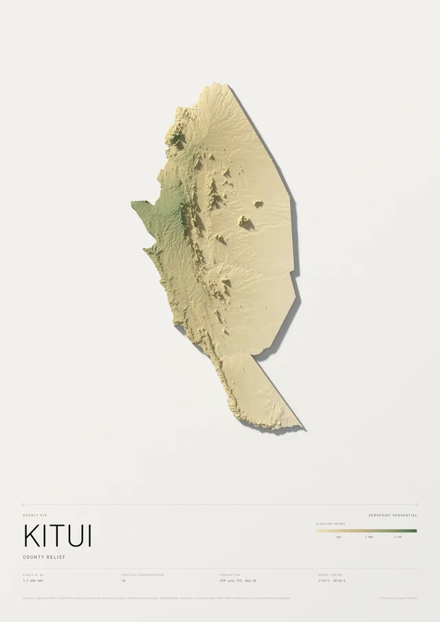
Kitui County
County relief
From KSh 9,000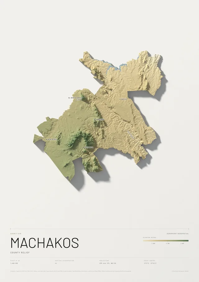
Machakos County
County relief
From KSh 9,000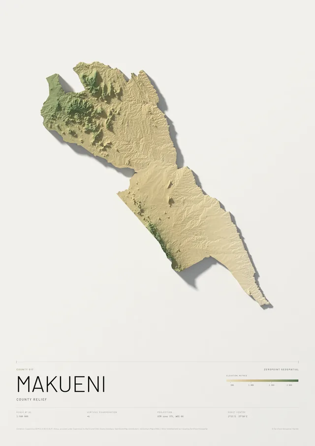
Makueni County
County relief
From KSh 9,000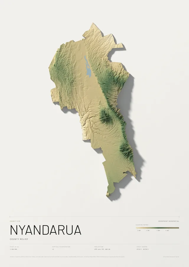
Nyandarua County
County relief
From KSh 9,000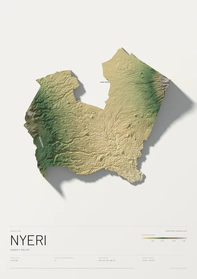
Nyeri County
County relief
From KSh 9,000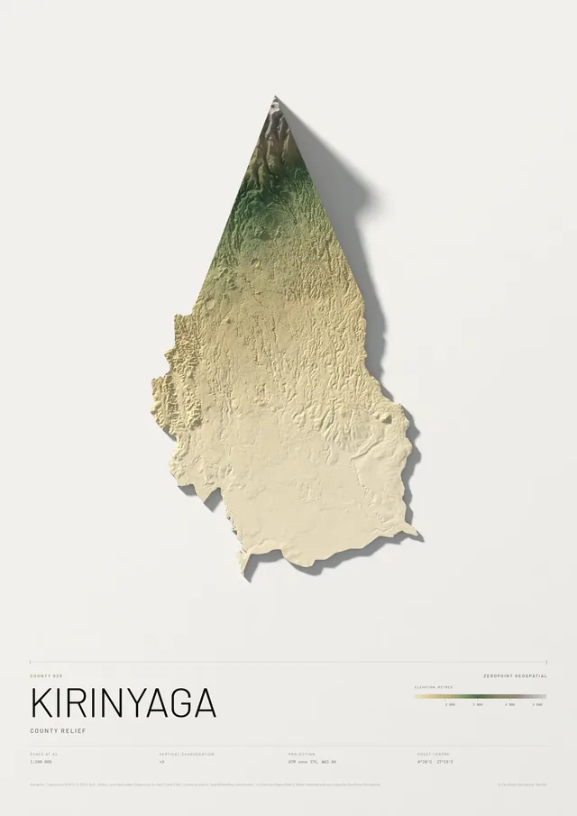
Kirinyaga County
County relief
From KSh 9,000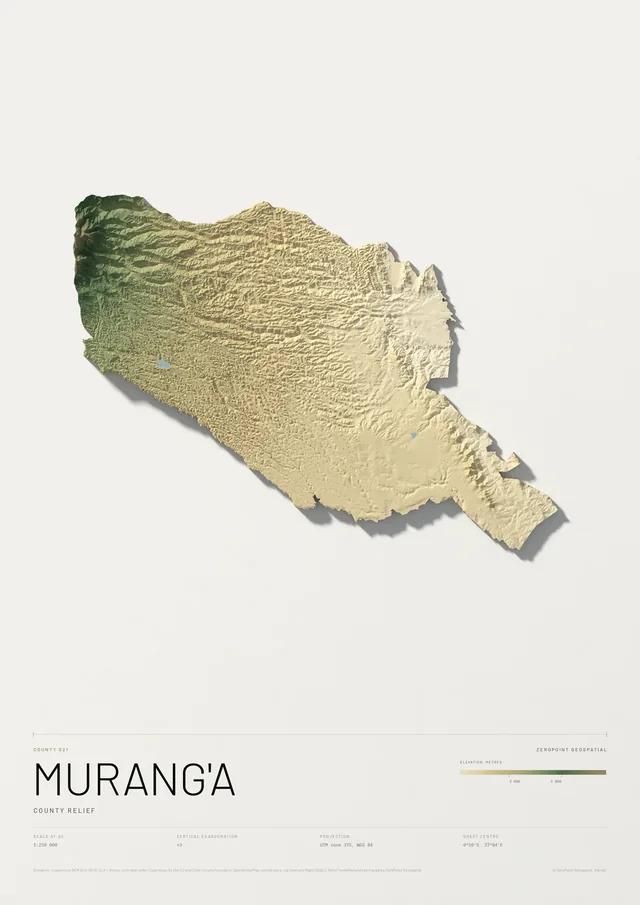
Murang'a County
County relief
From KSh 9,000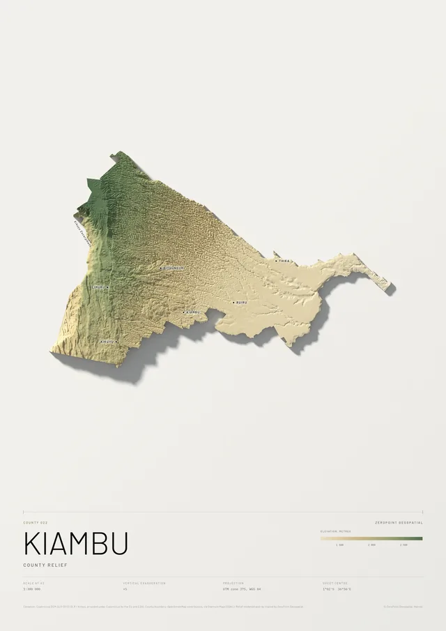
Kiambu County
County relief
From KSh 9,000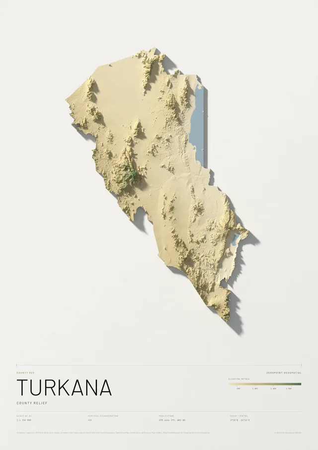
Turkana County
County relief
From KSh 9,000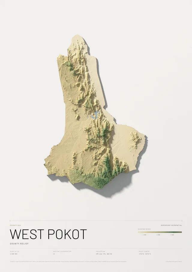
West Pokot County
County relief
From KSh 9,000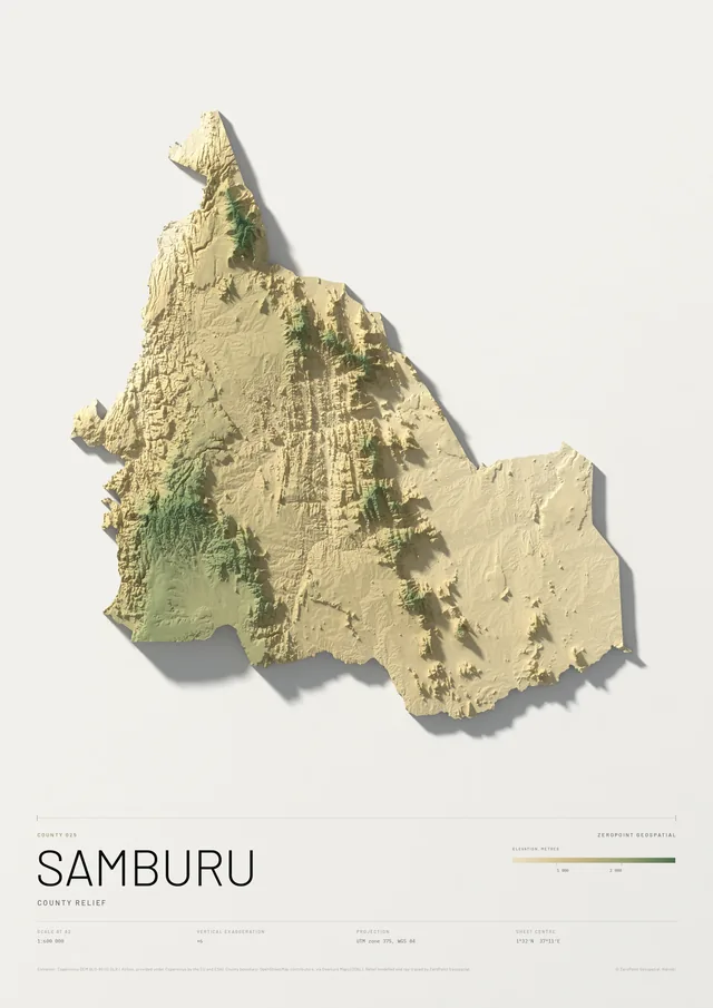
Samburu County
County relief
From KSh 9,000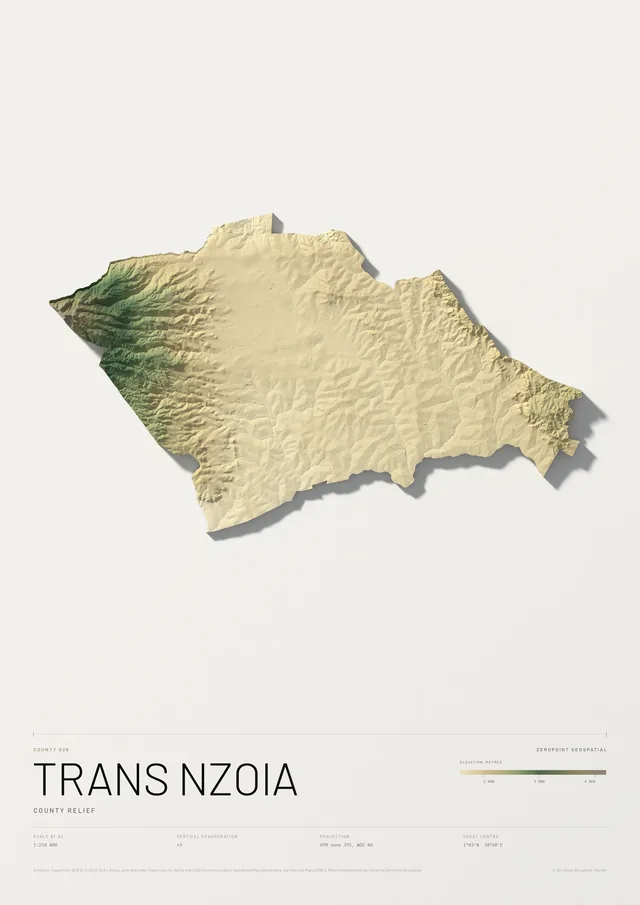
Trans Nzoia County
County relief
From KSh 9,000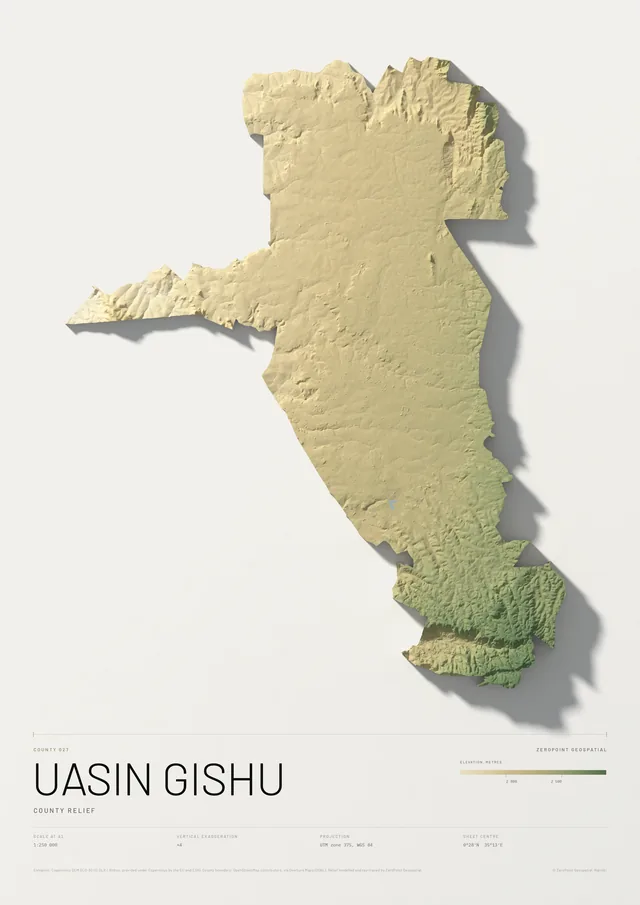
Uasin Gishu County
County relief
From KSh 9,000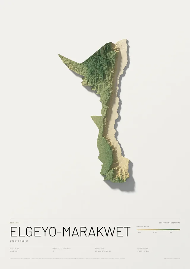
Elgeyo-Marakwet County
County relief
From KSh 9,000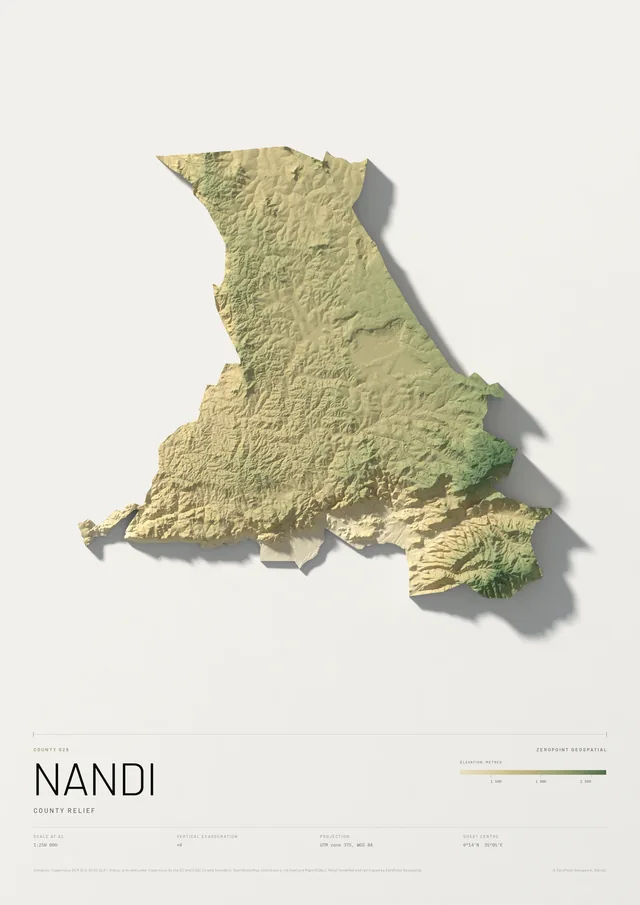
Nandi County
County relief
From KSh 9,000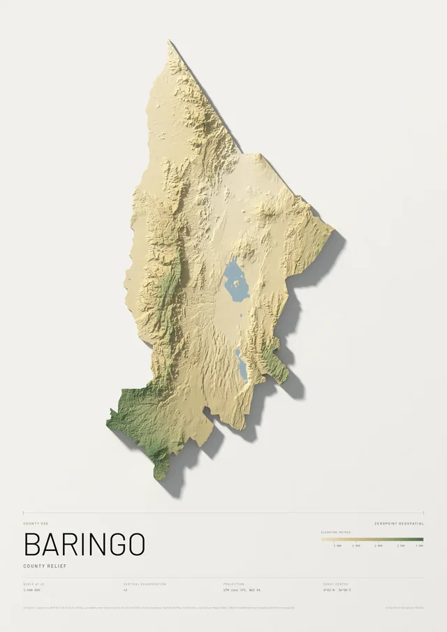
Baringo County
County relief
From KSh 9,000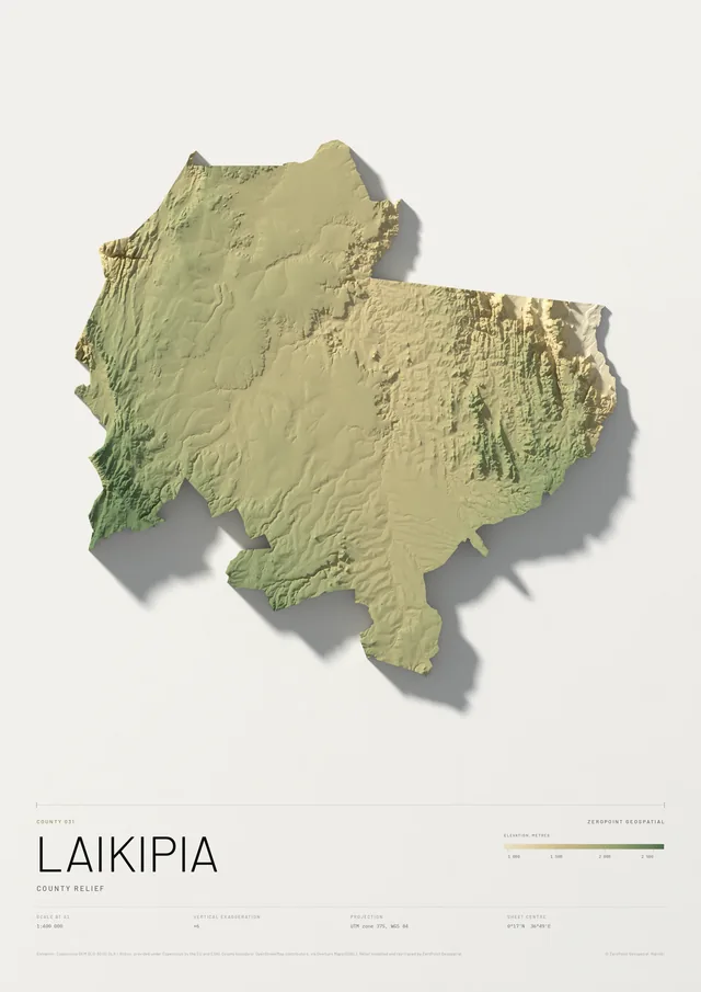
Laikipia County
County relief
From KSh 9,000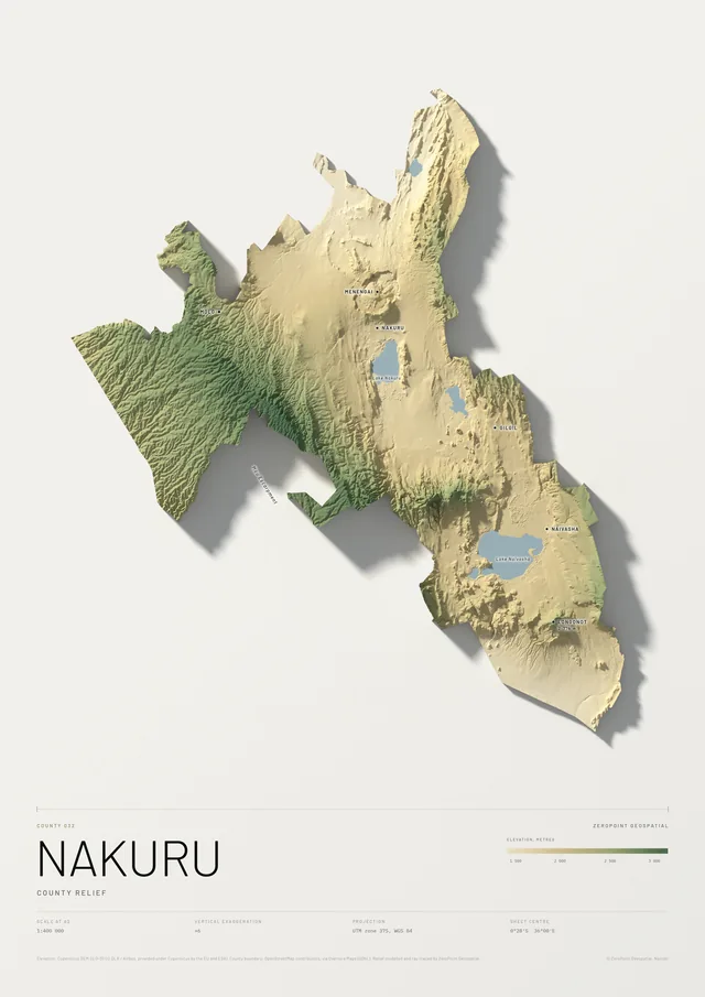
Nakuru County
County relief
From KSh 9,000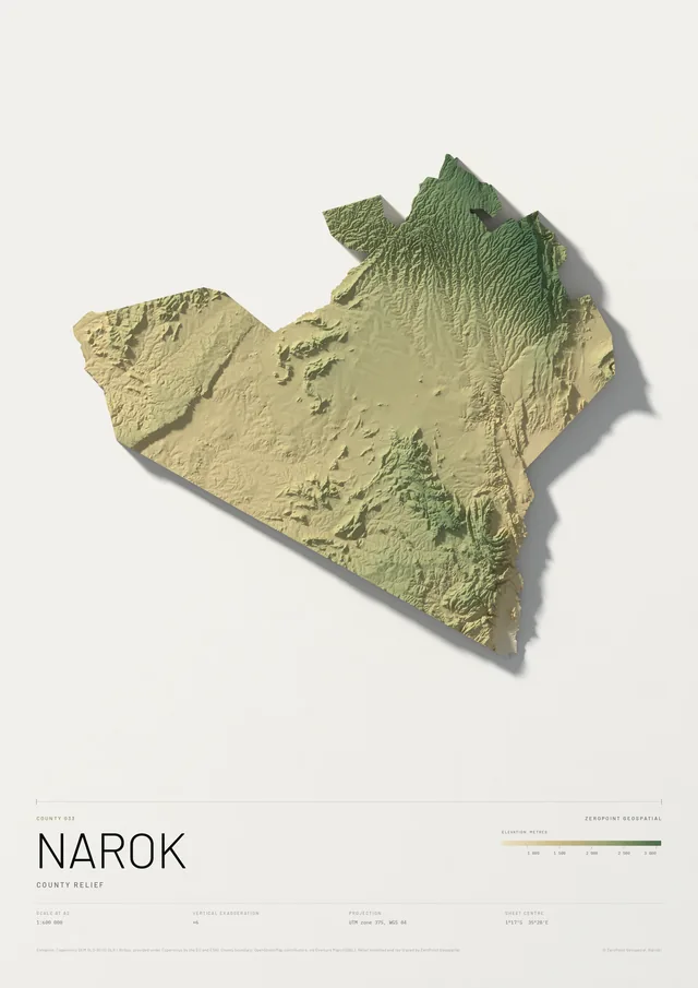
Narok County
County relief
From KSh 9,000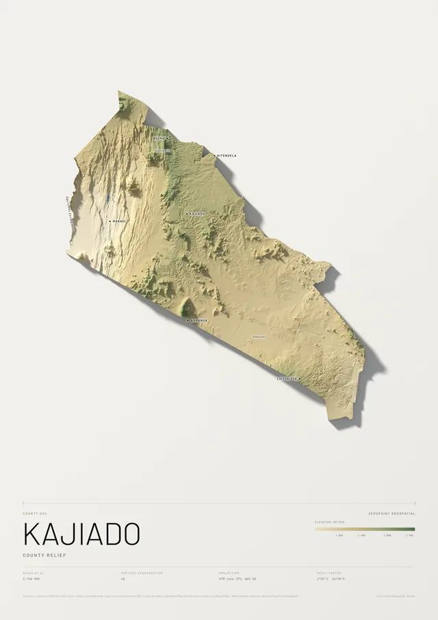
Kajiado County
County relief
From KSh 9,000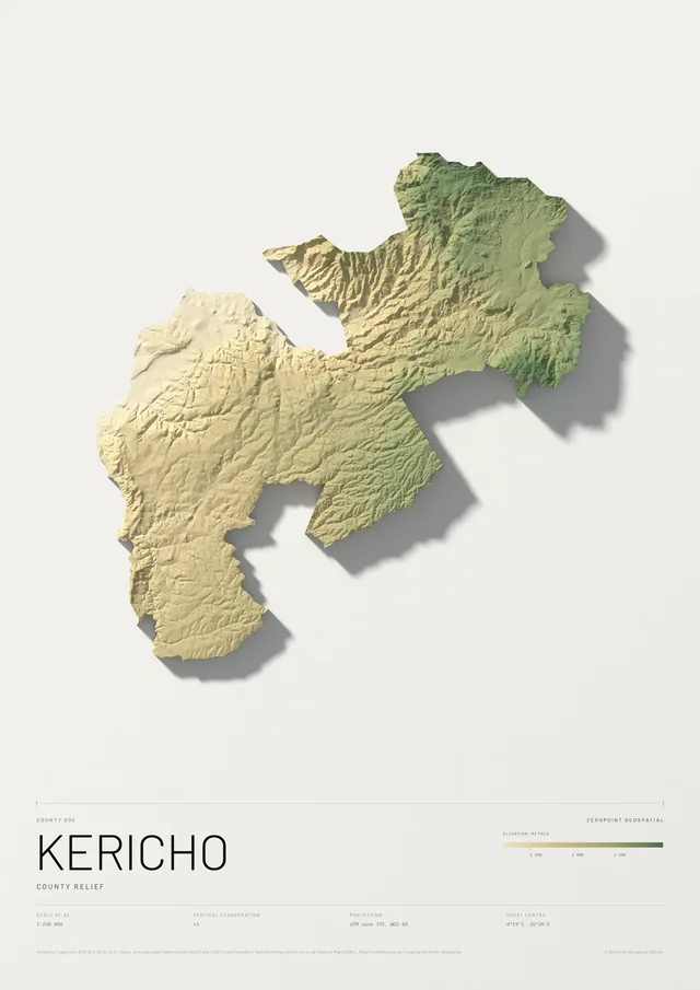
Kericho County
County relief
From KSh 9,000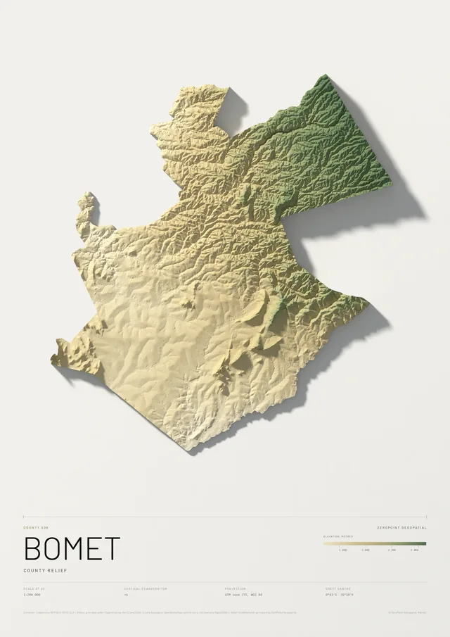
Bomet County
County relief
From KSh 9,000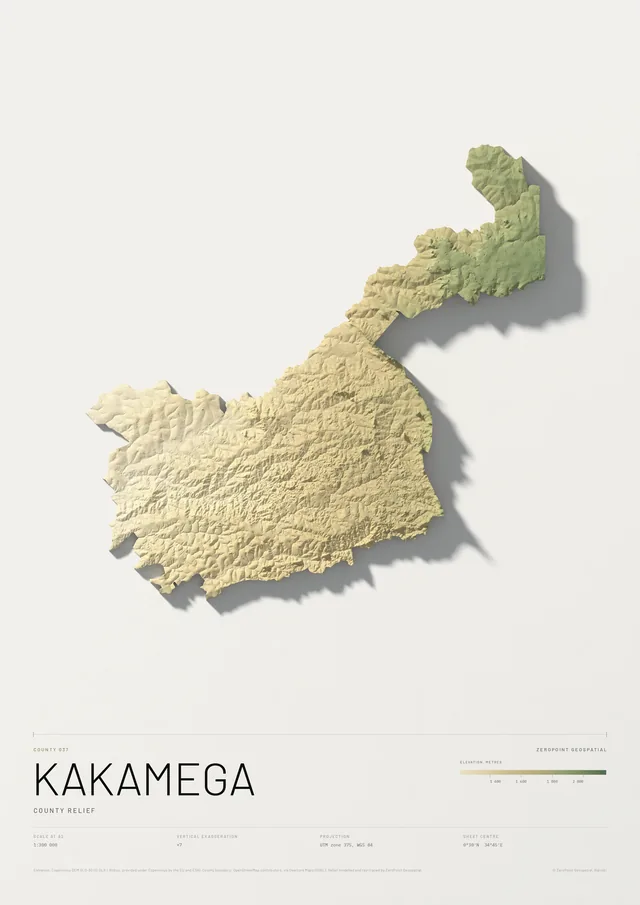
Kakamega County
County relief
From KSh 9,000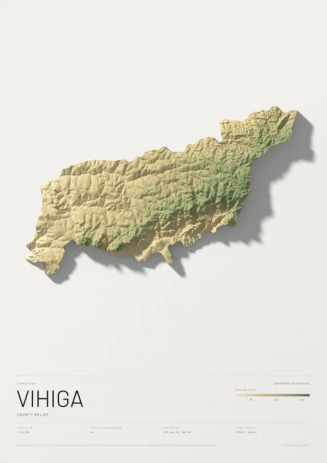
Vihiga County
County relief
From KSh 9,000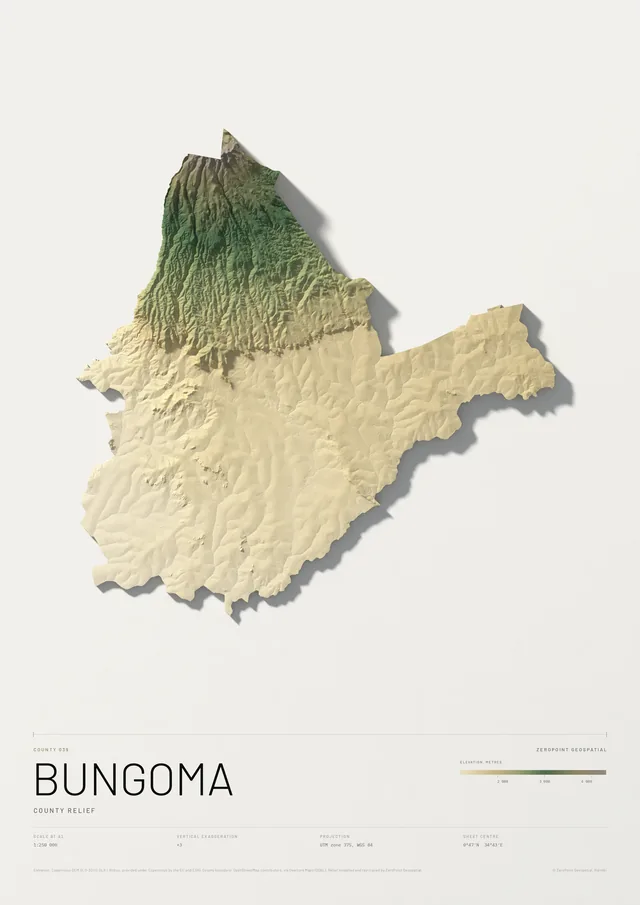
Bungoma County
County relief
From KSh 9,000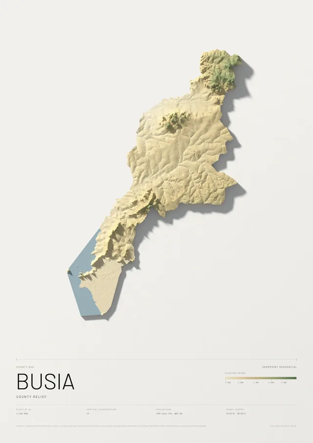
Busia County
County relief
From KSh 9,000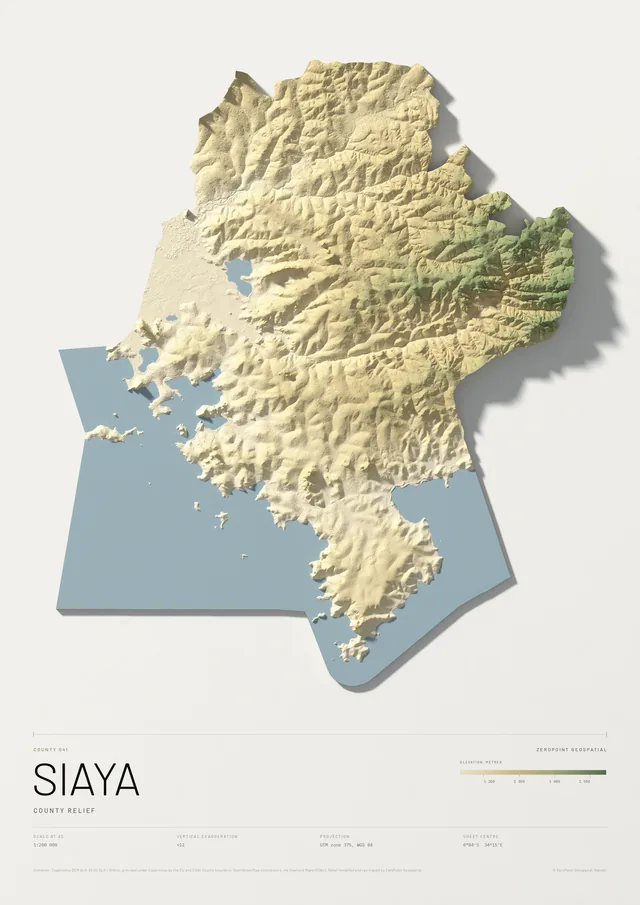
Siaya County
County relief
From KSh 9,000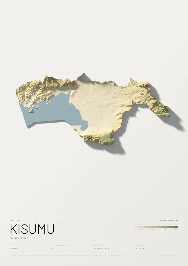
Kisumu County
County relief
From KSh 9,000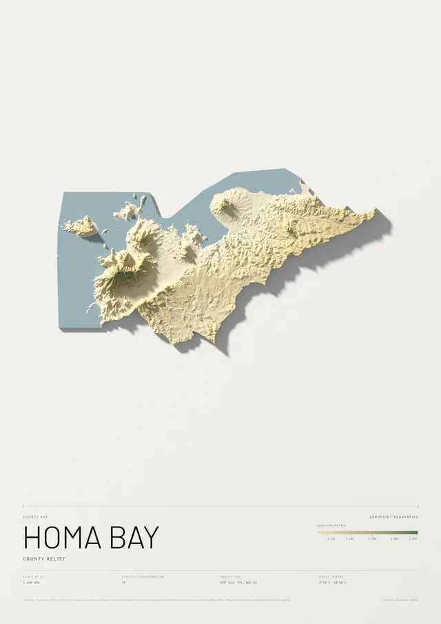
Homa Bay County
County relief
From KSh 9,000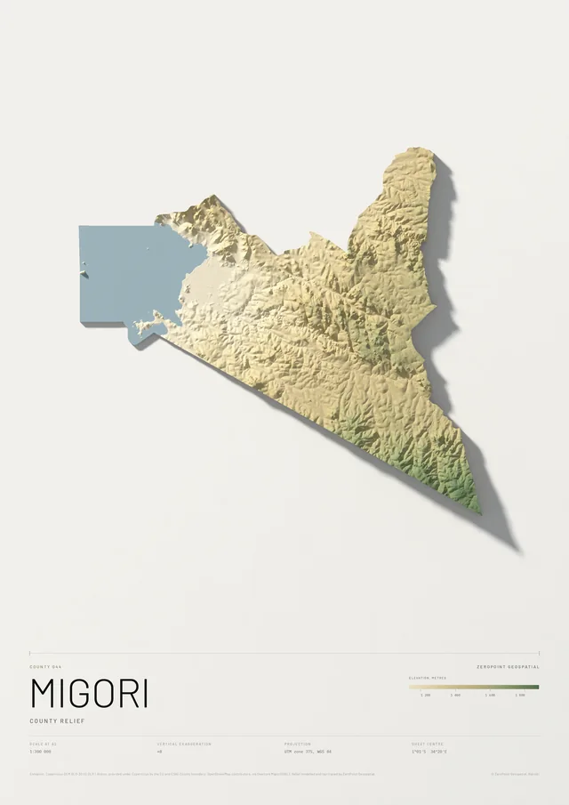
Migori County
County relief
From KSh 9,000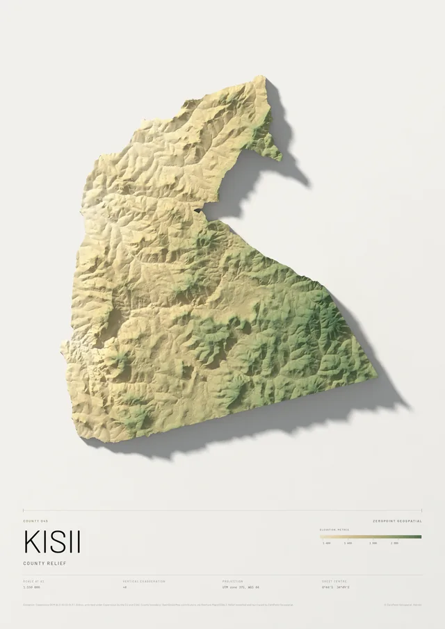
Kisii County
County relief
From KSh 9,000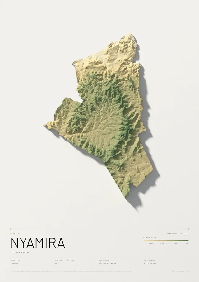
Nyamira County
County relief
From KSh 9,000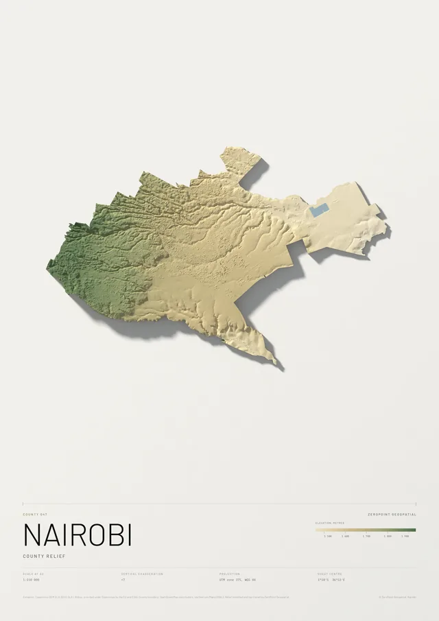
Nairobi County
County relief
From KSh 9,000No county by that name. Try the first few letters.
02How they are made
One pipeline, every county
Each plate starts from the Copernicus elevation model, at 30 metres for the smaller counties and 90 metres for the large ones in the north and east. The terrain is cut to the county boundary, coloured by height across the county's own range, so a flat county still shows its shape, and ray-traced with a low sun from the north-west.
The scale is chosen to fill the sheet and printed on it, with the projection and the sheet centre. County boundaries come from OpenStreetMap and are right for a wall map; they are not a statement about where any boundary legally runs.
The same model hangs well next to the national plates: Counties of Kenya, relief and rivers.