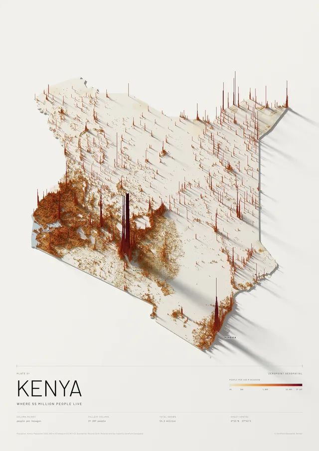
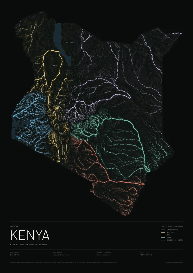
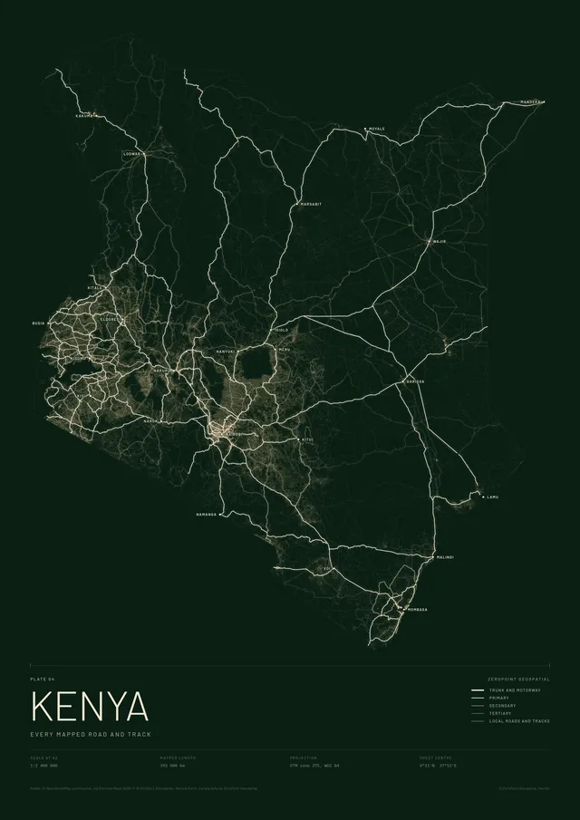
Select the print to see it larger
Map prints / Kenya atlas / Plate 03
Kenya
Relief, from the coast to 5 199 metres
The whole country as a relief model, lit from the north-west and ray-traced so that ridges throw real shadows. Heights are exaggerated 22 times, so the Rift Valley, the central highlands, Mount Elgon and the long slope down to the coast all read from across a room.
The main peaks, ranges and lakes are named. It shares its scale and projection with the rivers, roads and counties plates, so they hang as a set.
KSh 9,000 – 15,500Depending on size and framing. We confirm the exact figure before you pay.
Free delivery and installation in Nairobi for framed prints. Delivery across Kenya on request.
- Scale
- 1:2 400 000 at A2, 1:1 200 000 at A0
- Data
- Copernicus DEM GLO-90 (DLR / Airbus, EU and ESA)
- Vertical exaggeration
- ×22
- Method
- Terrain mesh, path-traced in plan view
- Projection
- UTM zone 37S, WGS 84
- Paper
- Matte or satin, your choice