Select the print to see it larger
Map prints / Kenya atlas / Plate 04
Kenya
Every mapped road and track
Every road and track in OpenStreetMap, about 392 000 km of them. Local roads are drawn as density, so towns glow and the forests of Mount Kenya, the Aberdares and the Mau show up as dark gaps in the network. Trunk, primary, secondary and tertiary roads are drawn over the top as lines, and two dozen towns are named, from Lodwar and Mandera to Namanga and Lamu.
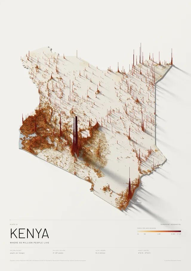
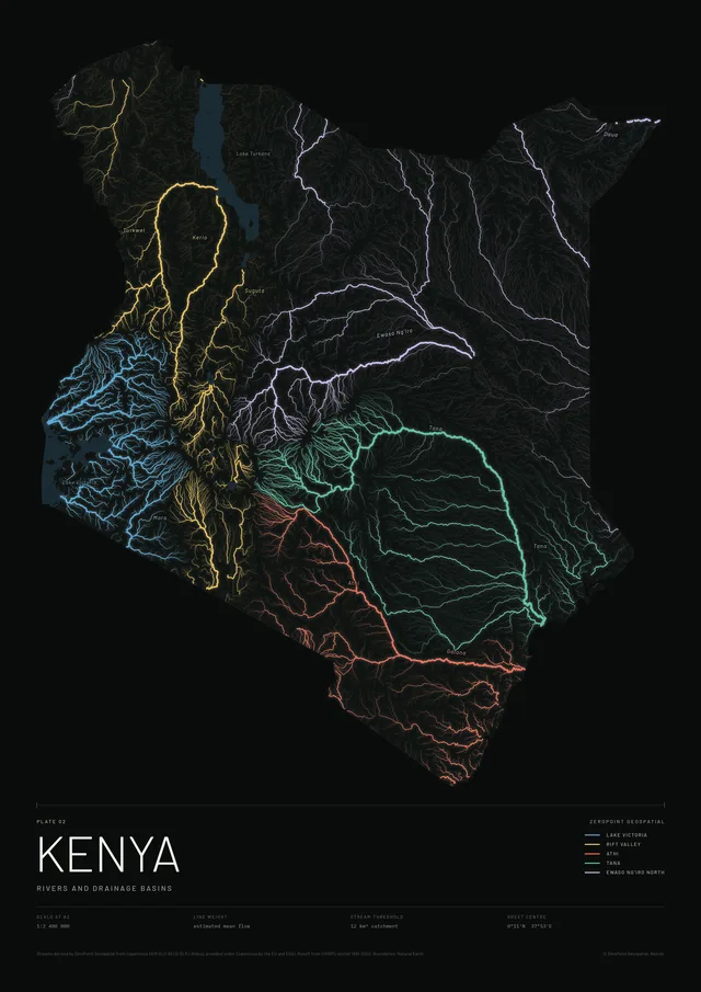
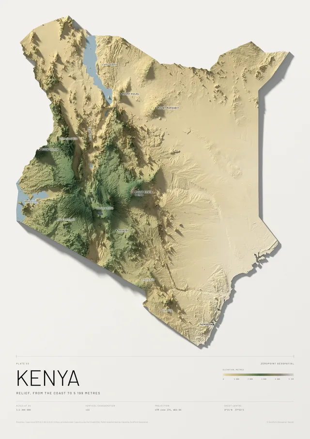
It uses the deep green and gold of the Nairobi city prints, and the same scale as the rivers and relief plates.
KSh 9,000 – 15,500Depending on size and framing. We confirm the exact figure before you pay.
Free delivery and installation in Nairobi for framed prints. Delivery across Kenya on request.
- Scale
- 1:2 400 000 at A2, 1:1 200 000 at A0
- Data
- OpenStreetMap contributors, via Overture Maps (ODbL)
- Mapped length
- About 392 000 km inside Kenya
- Method
- Local roads as density, classified roads as lines
- Projection
- UTM zone 37S, WGS 84
- Paper
- Matte or satin, your choice